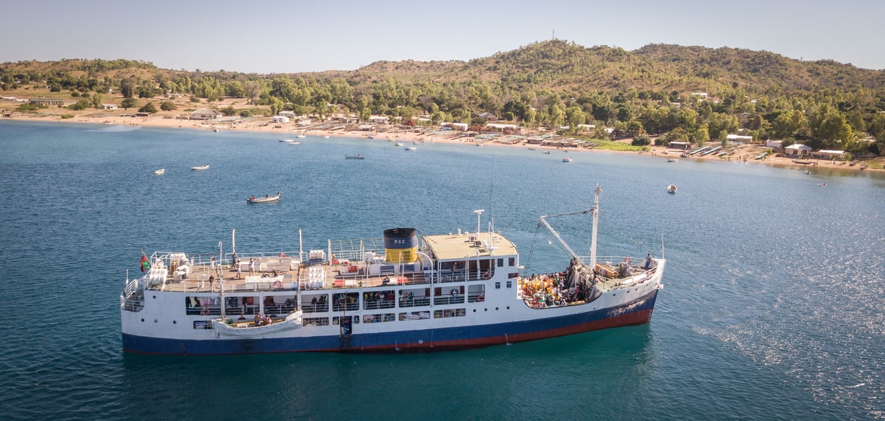
Malawi
Davidktorza / Wikimedia Commons · CC BY-SA 4.0 · cropped
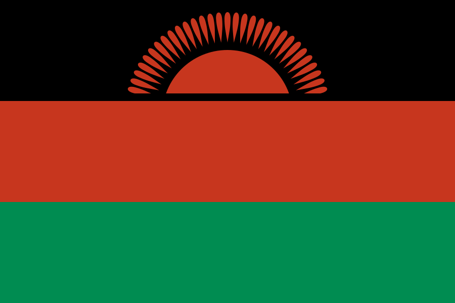
Malawi is a long, narrow, landlocked country in south-east Africa, 118,484 km² with about 22 million people and its capital at Lilongwe. Zambia lies to the west, Tanzania to the north and north-east, and Mozambique wraps around the east, south and south-west. The dominant feature is Lake Malawi, which fills the floor of the Great Rift Valley and accounts for 20.6% of the country's surface — a body of fresh water 560 to 580 km long, holding more species of fish than any other lake on earth. Highlands rise on either side of it, most steeply on the Nyika and Zomba plateaux.
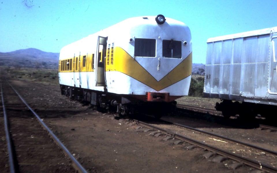
The railway is entirely 1,067 mm Cape gauge, as almost all of southern Africa's is, and amounted to 797 km at the last published count. It runs south and east from the middle of the country rather than the length of it, because its purpose is a port: the Nacala corridor carries Malawian traffic across Mozambique to the Indian Ocean, and it is the shortest route to salt water that a landlocked country has. The national system was privatised in 1999 and is now part of the Nacala Logistics concession.
Rail journeys in Malawi
Good to know
Why does Malawi's railway run east rather than north–south?
Because it was built to reach the sea, not to join Malawian towns together. The country is landlocked and very long, and the nearest deep-water port is Nacala on the Mozambican coast, almost due east of the southern half of the country. The line therefore runs out through Balaka and Nkaya to the frontier at Nayuchi and on across Mozambique.
How exposed is the line to weather?
Very. In January 2022 Cyclone Ana washed away the Mauzi bridge in Zomba and passenger operations were halted, with the operator warning of a suspension lasting close to six months. Storm damage of that kind is a recurring feature of the Nacala corridor rather than an exceptional event, and it is the first thing to check before relying on a train here.
How big is Lake Malawi?
Water makes up 20.6% of Malawi's surface, and almost all of that is this one lake. It runs 560 to 580 km down the Rift Valley and forms over three-quarters of the country's eastern boundary; it is sometimes called the Calendar Lake because it is roughly 365 miles long and 52 miles wide. It also holds more species of fish than any other lake in the world, including at least 700 cichlids. Tanzania calls it Lake Nyasa and Mozambique Lago Niassa.
Are there rail passes for Malawi?
No. Malawi belongs to no pass scheme and there is no national multi-journey ticket. Tickets are bought for the individual train. English is an official language, which makes enquiring at a station considerably easier here than in much of the region.