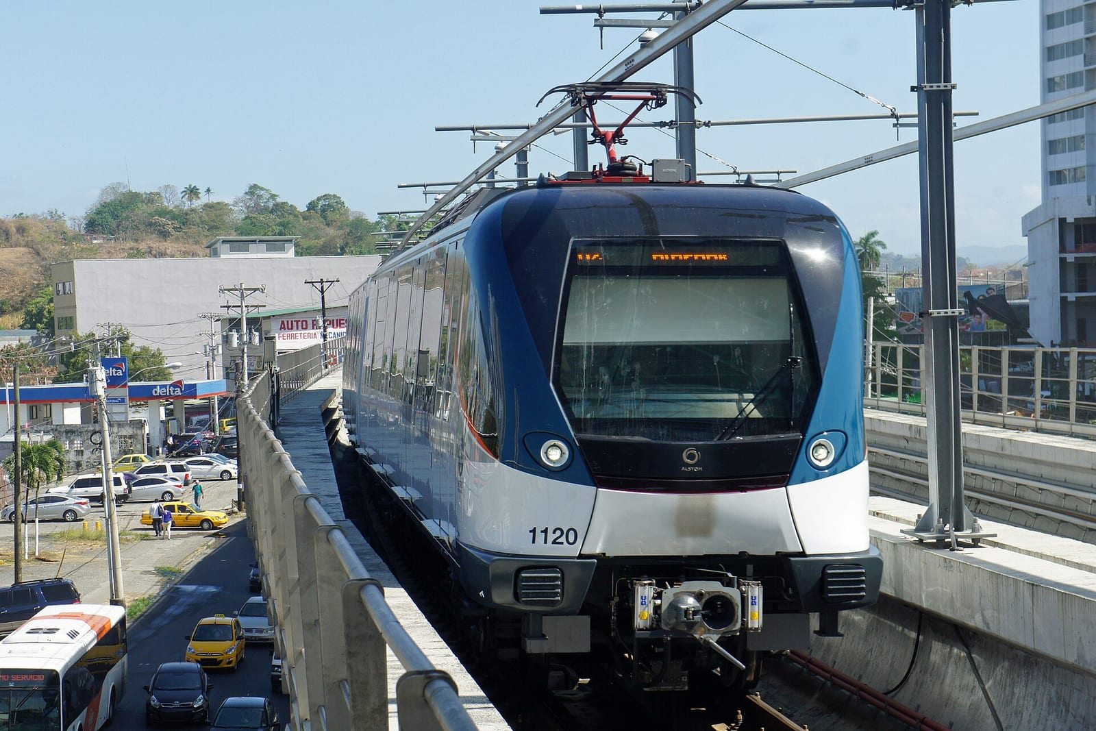
The Panama Metro
Mariordo / Wikimedia Commons · CC BY-SA 4.0
- DistanceLines 1 and 2 · about 42 km · 33 stations
- DurationEnd to end on Line 1 · about 30 minutes
- Best seasonYear round · December–April is the dry season
Introduction
Between the Mexican border and Colombia there is exactly one metro system, and it is in Panama City.
That is a slightly startling fact about a region of some fifty million people, and it says a good deal about how quickly Panama has changed. Line 1 opened on 6 April 2014 — eighteen kilometres, fifteen stations, running underground beneath the banking district and out onto viaduct through the northern suburbs. Twelve years later the system has two lines, 33 stations and carries 420,000 people a day.
It is not, on the face of it, one of the great train journeys of the world. It is a commuter metro. But it is worth a page for three reasons.
It is the only one
Central America built roads. Panama City, wedged onto a narrow coastal strip between the Pacific and the canal watershed, ran out of room for them — the traffic between the centre and the vast working-class district of San Miguelito had become close to immovable — and so it did what no other capital in the isthmus has managed and dug a tunnel.
Line 2 followed in 2019, opening early for World Youth Day that January and entering regular service on 25 April: twenty-four kilometres and eighteen stations running east across the city, with a branch to Tocumen International Airport added in 2023. The two lines cross at one point only, San Miguelito, which makes the network unusually easy to read.
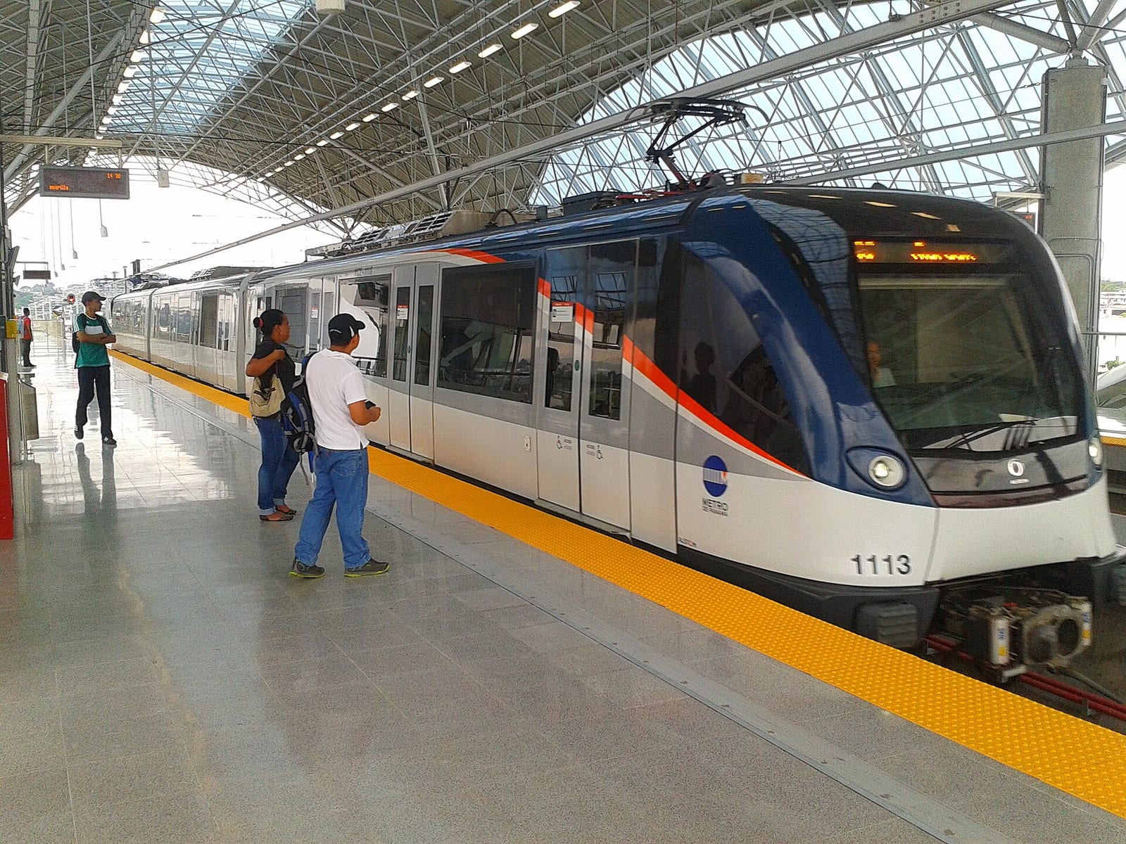
Forty-seven five-car Alstom Metropolis trains work it. The whole thing is grade separated — no level crossings, no street running, nothing sharing a lane with a bus.
It runs over the best view in the city
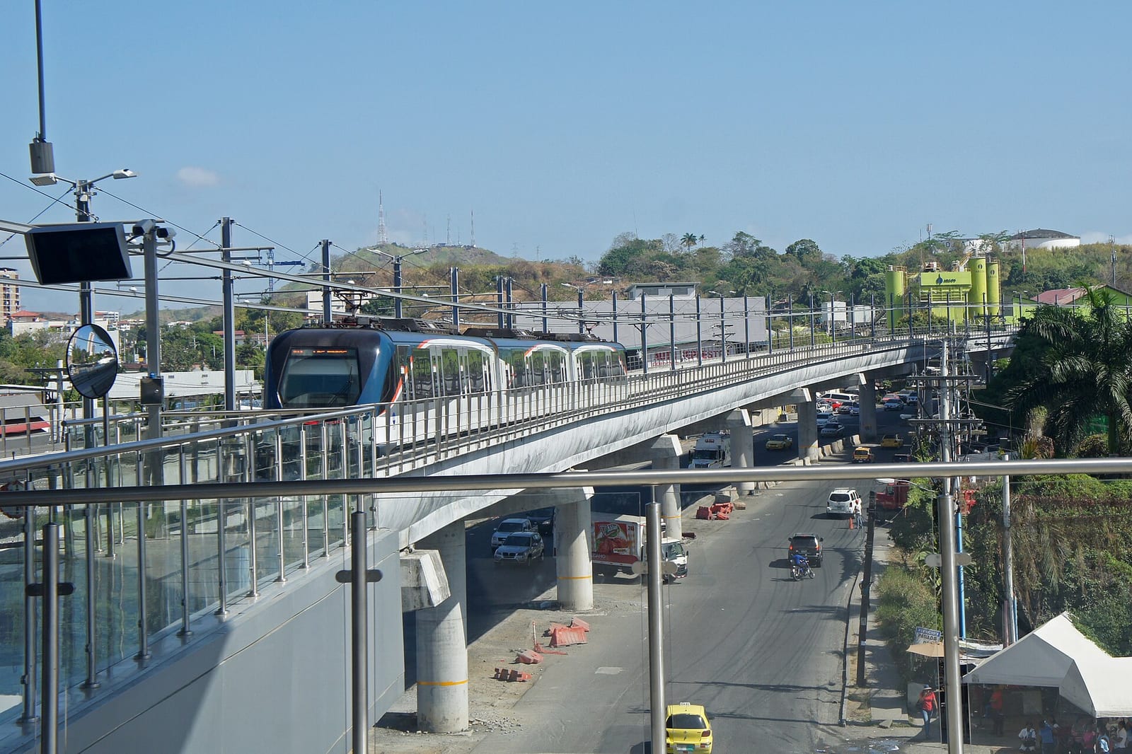
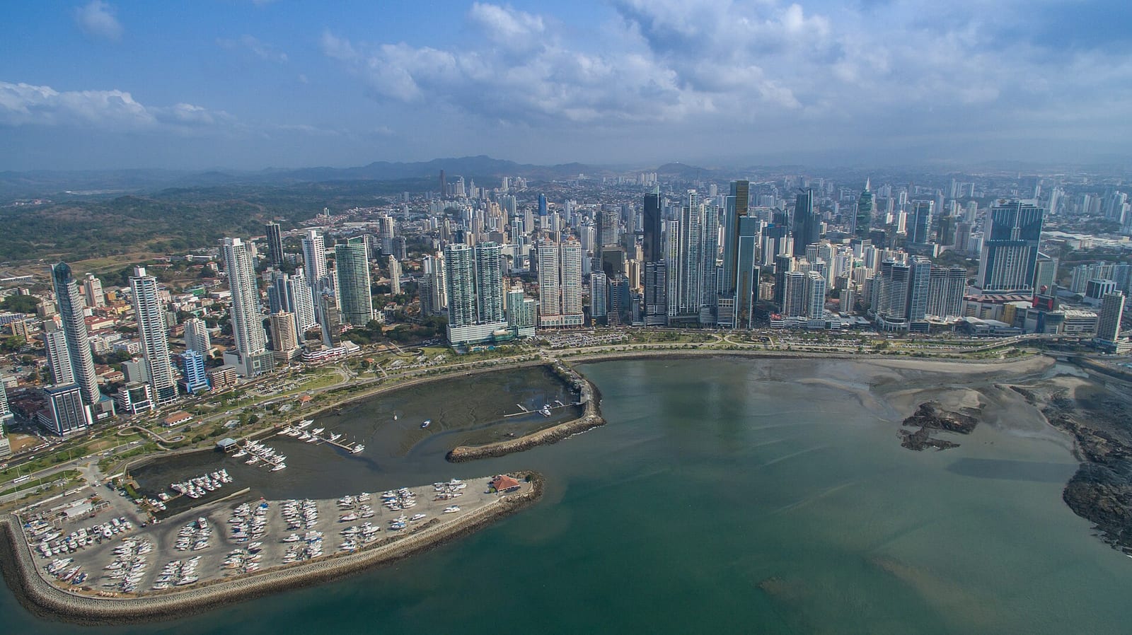
The stretch of Line 1 north of the centre climbs onto elevated viaduct, and from the window you get, for the price of a metro fare, the view that the rooftop bars charge for: the glass towers of the financial district on one side, the tin roofs of the barrios on the other, and behind it all the green hills of the canal watershed. It is the fastest way to understand what kind of city this is.
And it is about to go under the Panama Canal
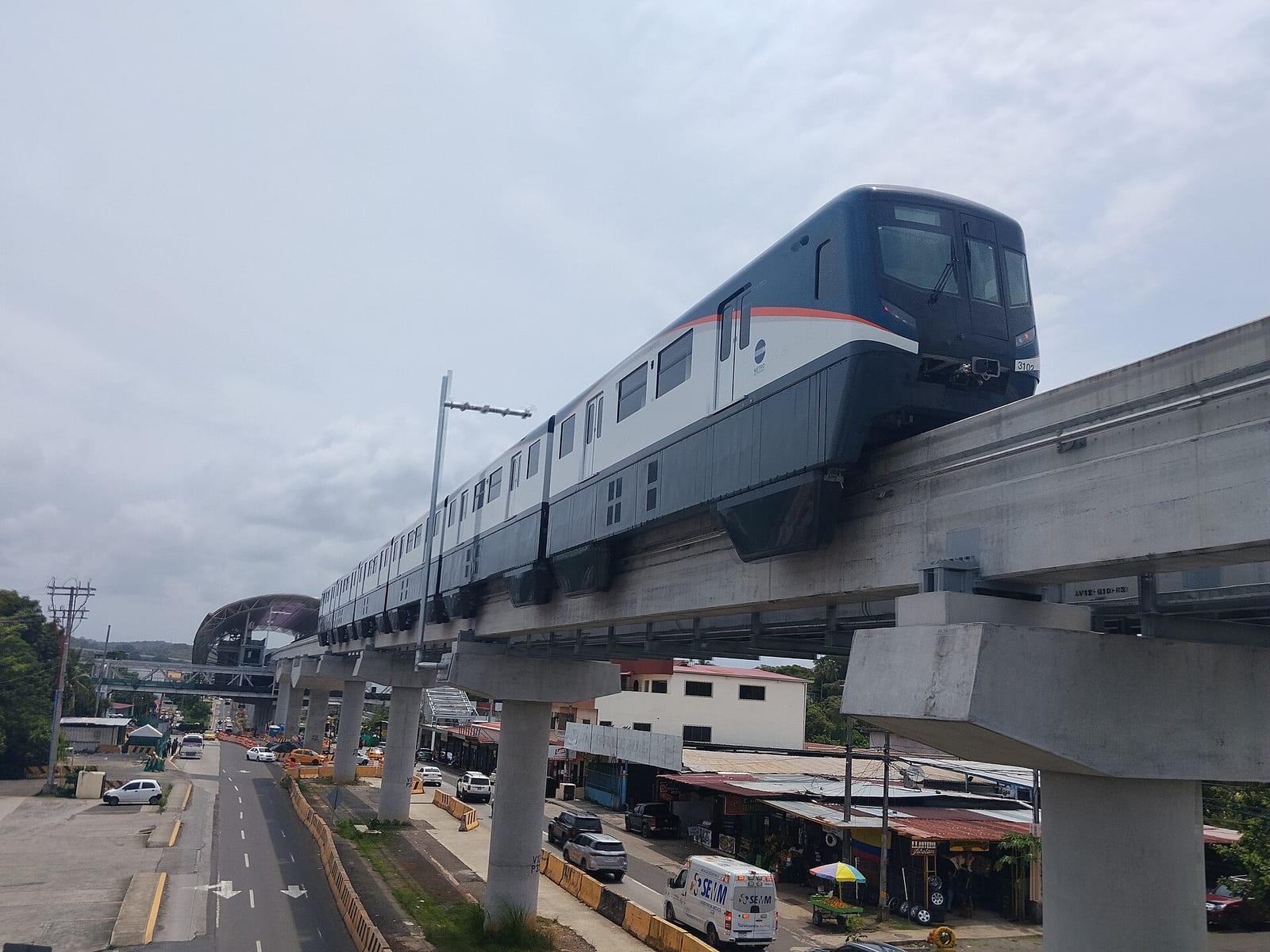
Line 3 is a 25-kilometre monorail running west to Panamá Oeste, on the far side of the waterway — and getting there means passing beneath the canal itself.
In February 2026 the tunnelling machine completed that underground section. It has been running since September 2024, has dug more than 3.9 of the roughly 4.5 kilometres of bored tunnel, installed 1,560 concrete rings and removed more than 800,000 cubic metres of material. Twenty-six Hitachi monorail trains are on the property and under test.
It is not open, and it will not be soon. As of June 2026 the project stood at about 77 per cent: the elevated section is over ninety per cent complete and is expected to open in 2027, while the tunnel under the canal is not due until 2028 — more than a year later than originally promised.
When it does open, Panama City will have something no other city has: a passenger railway running underneath one of the two great ship canals of the world, a few kilometres from a railway that has been carrying people between the same two oceans since 1855.
For now, ride the two lines that exist. They are clean, cheap, fast and air-conditioned, which in this climate is worth more than novelty.
The Journey
Line 1 — Albrook to Villa Zaita
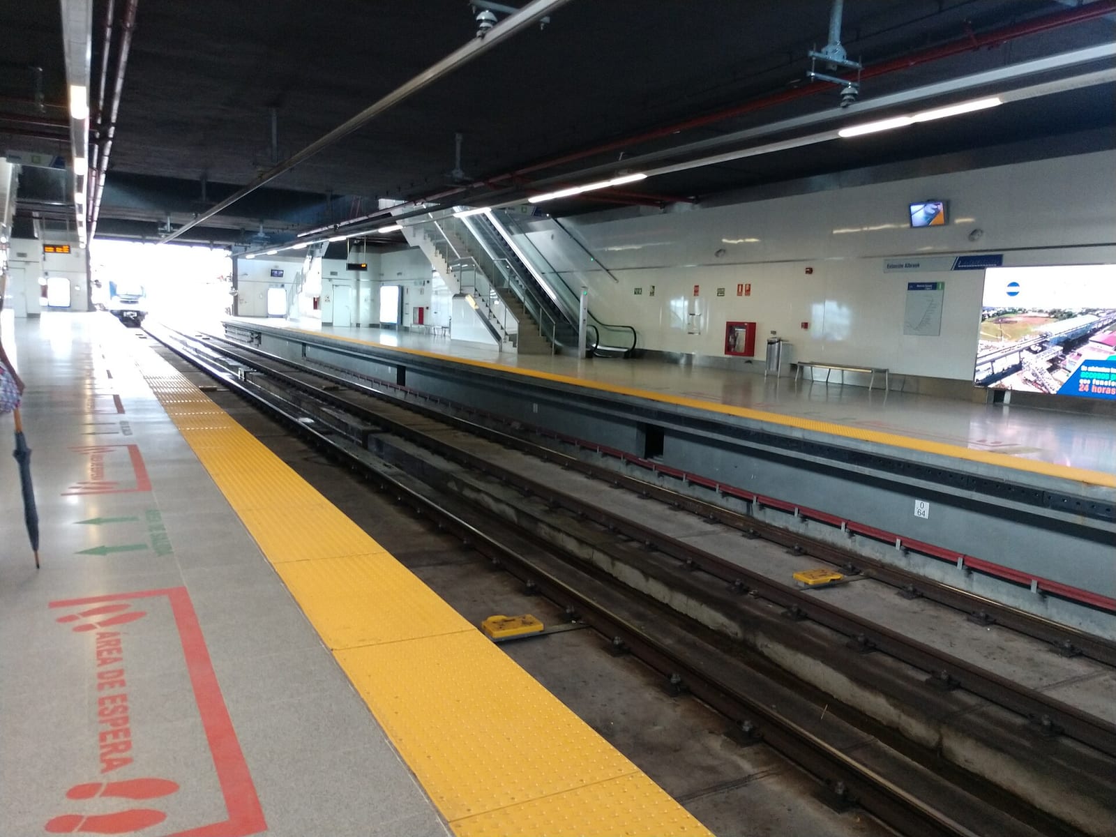
Start at Albrook, the southern terminus, which is a useful place in its own right: the national bus terminal is attached to it, the domestic airport is next door, and a few minutes away by taxi is Corozal, where the Panama Canal Railway leaves for the Atlantic.
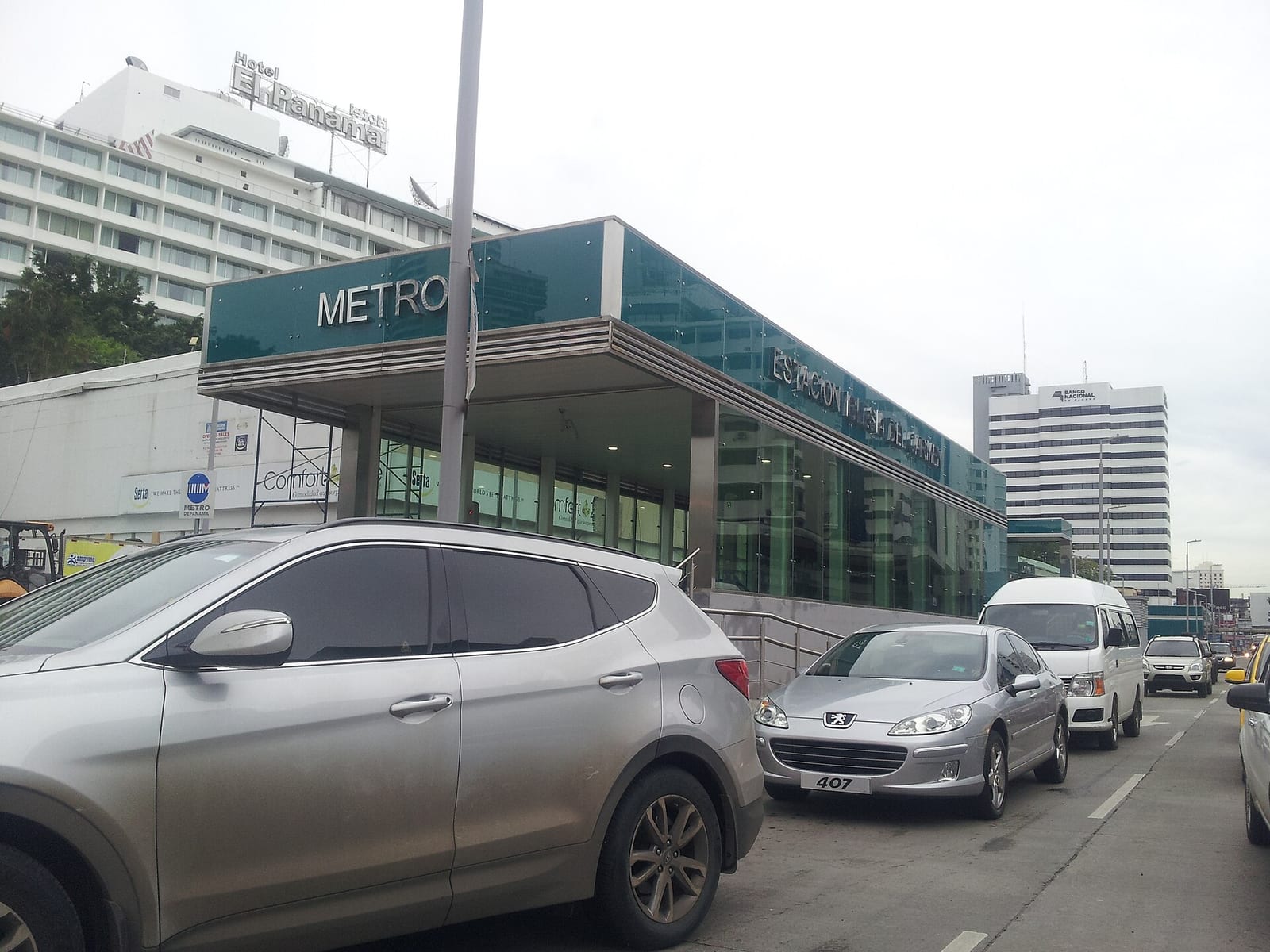
From Albrook the line runs north-east into the city and dives underground. The centre-city stations — 5 de Mayo, Santo Tomás, Iglesia del Carmen, Vía Argentina — are beneath the oldest and densest part of the modern city, and they are the ones visitors use: 5 de Mayo is the walk-in point for Casco Viejo, the colonial quarter, and Iglesia del Carmen puts you in the middle of the banking district under the towers.
Then the line climbs.
North of the centre Line 1 comes up onto viaduct and runs above the rooftops through San Miguelito — the huge, hilly, working district that the metro was really built for — and on to Los Andes and Villa Zaita. This is the part to ride for its own sake. On one side the skyline of glass and money; on the other, hillsides of low houses and tin roofs; ahead, the green ridge of the canal watershed. Panama's inequality is not hidden here, and the view out of the window explains the country faster than any museum.
End to end takes about half an hour.
Line 2 — San Miguelito to the east, and the airport
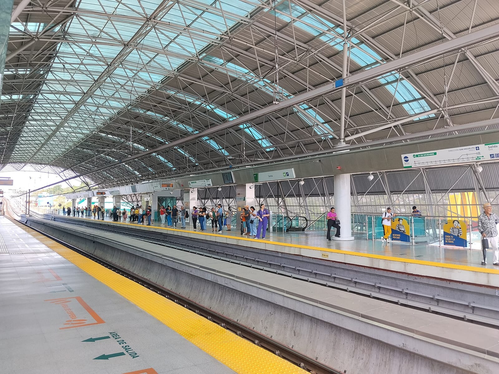
The two lines meet at San Miguelito, and only there. Line 2 runs east from the interchange for twenty-four kilometres across the flat eastern sprawl of the city — 18 stations, mostly elevated — through the districts where most of the metropolitan area's growth has happened, ending at Nuevo Tocumen and 24 de Diciembre.
Since 2023 a branch has served Tocumen International Airport. It is the cheapest way into the city from a flight by a very wide margin. It is also slower than a taxi and requires a change at San Miguelito to reach the centre, so it is a trade rather than an obvious win — but with hand luggage and time to spare it is an easy one.
What it is like
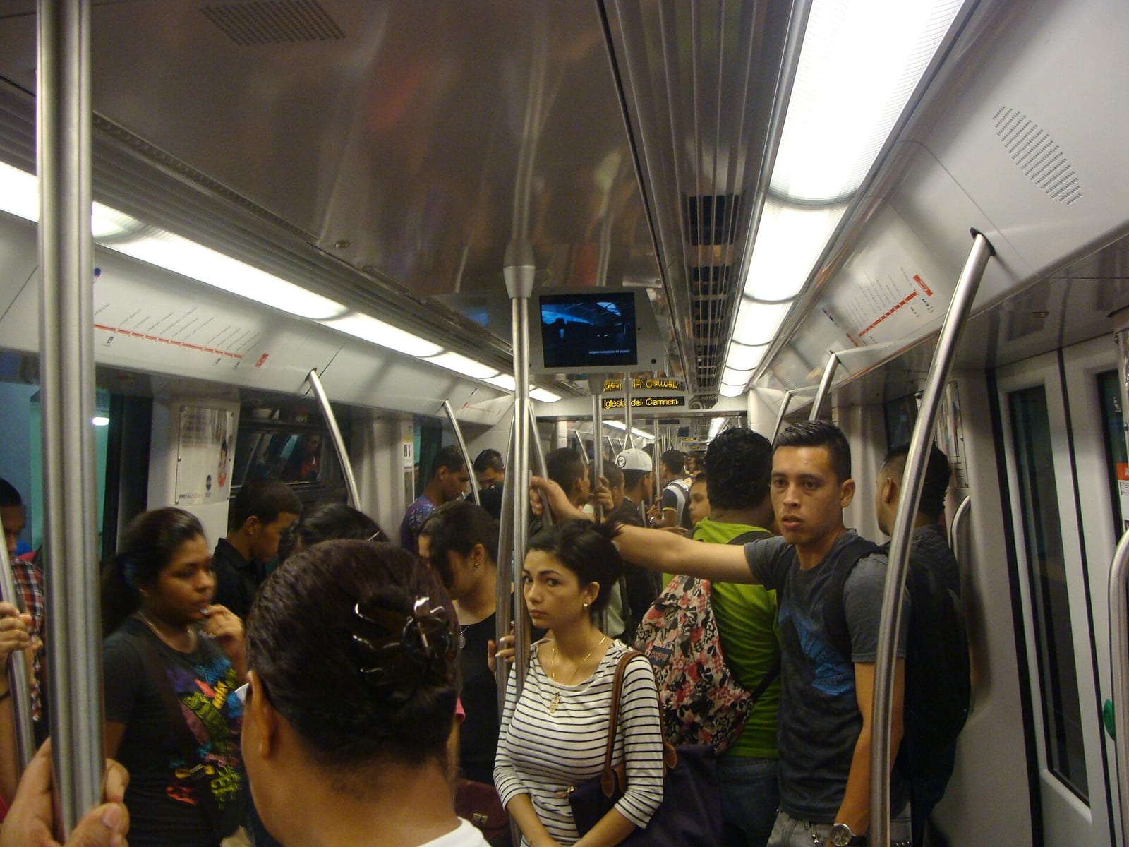
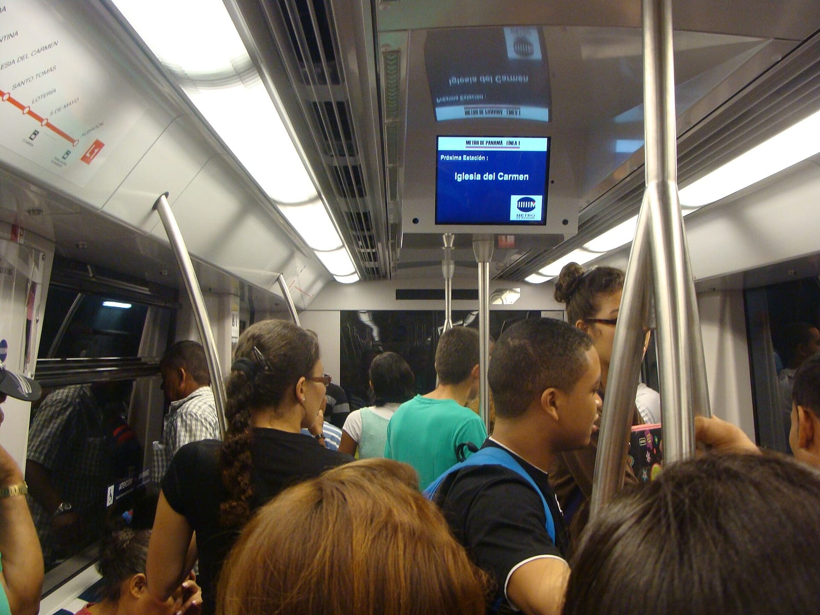
Clean, air-conditioned, frequent and heavily used. Trains are five-car Alstom Metropolis sets, and at peak they are full — this is a system carrying well over four hundred thousand people a day on two lines, and it feels like it. Stations are modern, plainly finished and well signed, with announcements in Spanish. There are dedicated carriages or areas for women and children at busy times on parts of the network.
Fares are distance-banded and among the lowest of any metro in the Americas. You tap in and out with a rechargeable card.
Line 3, and what to look for
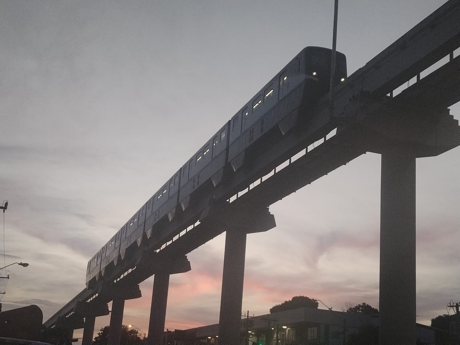
You cannot ride it yet, but you can see it being built. The monorail viaduct for Line 3 is now a visible structure running west out of the city toward the canal, and the Hitachi trains have been undergoing test running through 2026.
The tunnel is the part worth knowing about. To reach Panamá Oeste, the line has to get to the far bank of the Panama Canal, and it does so underneath it — roughly 4.5 kilometres of bored tunnel, of which the section beneath the waterway was completed in February 2026. It is being built by a Korean joint venture of Hyundai Engineering & Construction and POSCO E&C.
The elevated section is expected to carry passengers in 2027; the tunnel not until 2028. Both dates have already slipped by more than a year, so treat them as intentions.

Along the route
José Chuito / Wikimedia Commons · CC BY 4.0The first metro in Central America
When Line 1 opened on 6 April 2014, Panama City became the only city between Mexico and Colombia with an underground railway — and it still is. Twelve years later the system carries 420,000 passengers a day.José Chuito / Wikimedia Commons · CC BY 4.0Two lines, 33 stations, one interchange
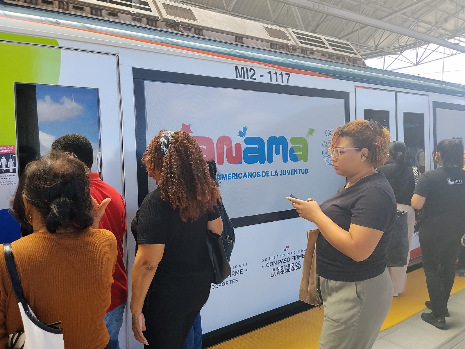
Line 2 followed in 2019, running 24 kilometres east across the city and gaining a branch to Tocumen International in 2023. The two lines meet at exactly one place, San Miguelito, which makes the network easy to understand and that interchange very busy indeed.José Chuito / Wikimedia Commons · CC BY 4.0A tunnel under the Panama Canal
Line 3 is a 25-kilometre monorail, and to get there it has to cross the canal. In February 2026 the boring machine finished 4.5 kilometres of tunnel beneath the Panama Canal itself. It is not open: the elevated part is due in 2027 and the tunnel in 2028.A bit of history
Culture & experiences along the way
Mariordo / Wikimedia Commons · CC BY-SA 4.0Ride the elevated section for the skyline
Line 1 spends its city-centre length underground and then climbs onto viaduct for the run north through San Miguelito. That elevated stretch gives you the best free view in Panama: the towers of the financial district on one side, the sprawl of the barrios on the other, and the green of the canal watershed beyond. Sit by a window; it costs a few cents.Gualberto107 / Wikimedia Commons · CC BY-SA 3.0Use it to reach the old town
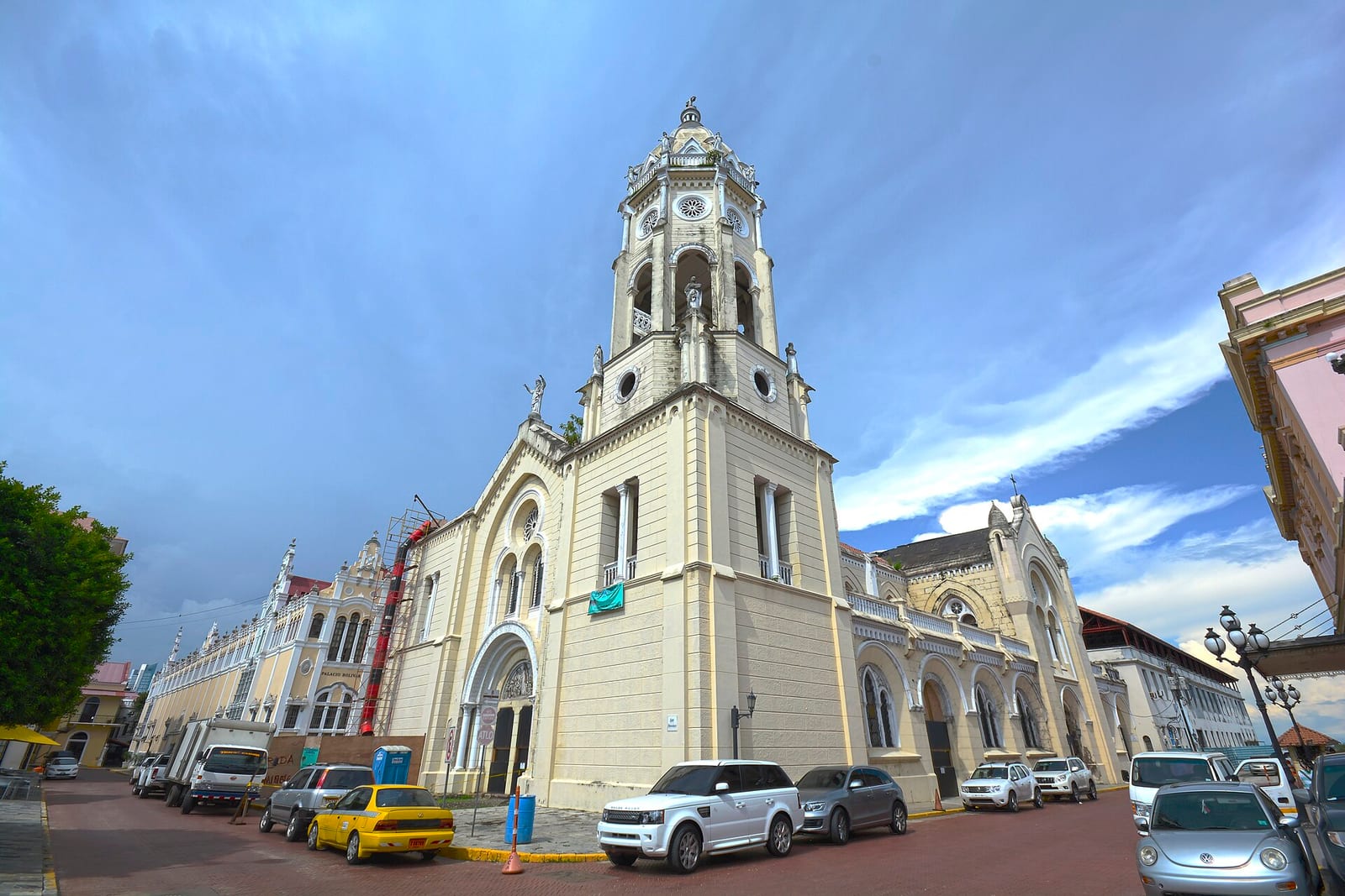
Casco Viejo, the colonial quarter the city rebuilt after Henry Morgan burned the original in 1671, is a short walk from the southern end of Line 1 — 5 de Mayo is the usual stop. The metro drops you at the edge of it in air-conditioned comfort for a fraction of a taxi fare, which in a city this hot and this congested is not a small thing.ProtoplasmaKid / Wikimedia Commons · CC BY-SA 4.0Change at Albrook for the ocean-to-ocean train
Line 1's southern terminus, Albrook, sits beside the national bus terminal and the domestic airport — and a few minutes away is Corozal, where the Panama Canal Railway starts its run to the Atlantic. It is the neatest connection in the country: a 2014 metro to a railway that opened in 1855, in one short taxi ride.Timetables
The Panama Metro is a turn-up-and-go urban railway. There is no timetable to consult and no booking to make — you need the frequency, the hours and the fare system.
The service
| Lines open | 2 (Line 1 and Line 2), plus Line 3 under construction |
| Stations | 33 |
| Interchange | San Miguelito — the only one |
| Fleet | 47 Alstom Metropolis five-car trainsets |
| Ridership | 420,000 a day (March 2026) · 116 million a year |
| Line 1 | Albrook–Villa Zaita · 18.1 km, 15 stations · opened 6 April 2014 |
| Line 2 | San Miguelito–east · 24 km, 18 stations · opened 25 April 2019; airport branch 2023 |
| Character | Fully grade separated — underground in the centre, elevated in the suburbs |
Trains run from early morning until late evening, seven days a week, all year. Frequency is high through the day and very high at peak; at rush hour on Line 1 you will rarely wait more than a few minutes, and you may not get on the first train that arrives.
Peak hours are genuinely crowded. Roughly 06:30–08:30 and 17:00–19:00 on weekdays, Line 1 southbound in the morning and northbound in the evening. If you are carrying luggage to or from the airport, avoid those windows.
Journey times
Approximate, for planning:
| Albrook to Villa Zaita (Line 1, end to end) | about 30 minutes |
| Albrook to San Miguelito | about 20 minutes |
| Tocumen airport to San Miguelito (Line 2) | about 45 minutes |
| Tocumen airport to the city centre, with the change | about 1 hour 15 |
Fares
Fares are distance-banded and are among the cheapest of any metro in the Americas — a typical trip costs a fraction of a dollar. You need a rechargeable metro card, bought and topped up at any station; the same card is used on the MiBus city bus network, and metro-to-bus transfers are discounted.
We do not quote a figure here because the bands are revised periodically and the operator is the only reliable source. Check elmetrodepanama.com (opens in a new tab) or the fare display at the station.
Line 3 — not yet
For completeness, since it is the most interesting thing about this system: Line 3 is not open. It is a 25-kilometre monorail to Panamá Oeste with 26 Hitachi trainsets, being built by the Korean HPH Joint Venture (Hyundai E&C and POSCO E&C).
- February 2026 — the bored tunnel section beneath the Panama Canal was completed.
- June 2026 — the project stood at about 77 per cent overall; the elevated section over 90 per cent; monorail test running under way.
- Expected opening: elevated section 2027, underground section 2028.
Both dates represent a slip of more than a year on the original programme. Do not plan a trip around them.
Operator: Metro de Panamá, S.A. — elmetrodepanama.com (opens in a new tab). Position as of July 2026.
Tickets
There is nothing to book. A rechargeable tarjeta is sold from machines and windows at every station: pay a small one-off charge for the card, top it up, tap in at the gate and tap out on exit, because the fare is distance-based and the system needs both taps. The same card works on the MiBus network and transferring between the two attracts a discount, which makes it worth buying even for a short stay. One card per person — the metro gates will not pass two people on one tap.
Fares are among the lowest of any metro in the Americas and the bands are revised from time to time, so the reliable figure is the one on the station display. Since 2023 a branch of Line 2 has served Tocumen International: far cheaper than a taxi, but about an hour and a quarter to the centre with a change, and uncomfortable at peak with large bags.
Book your tickets
Metro card · pay as you go
The way everybody travels
Buy a rechargeable card at any station, top it up at the machines and tap in. Fares are distance-banded and very low, and the same card works on the metro and the MiBus network. One card can usually be shared between several people on the buses but not through the metro gates, so buy one each.
Book Tickets (opens in a new tab, on Metro de Panamá)via Metro de PanamáLine 2 to Tocumen airport
The cheap way in from the plane
Since 2023 a branch of Line 2 has served Tocumen International, which makes the metro by far the cheapest route between the airport and the city. It is slower than a taxi and involves a change at San Miguelito for the centre, but the difference in price is large.
Book Tickets (opens in a new tab, on Metro de Panamá)via Metro de PanamáRail Passes
No rail pass covers the Metro. Interrail and Eurail are European schemes, and Panama is not among the 33 countries in Interrail's list of covered railway companies (opens in a new tab). The Metro runs on its own rechargeable card, which also works on the MiBus network.
Checked October 2026 against Interrail's list of covered railway companies (opens in a new tab).
Places to Visit
The metro is a tool rather than a destination, and what makes it worth a page is what it puts within reach. Everything below is a station and a short walk, or a station and a cheap taxi.
Two more things sit on the waterfront. The Cinta Costera is a boulevard built out into the bay, with a walking and cycling path running for kilometres and the best view of the skyline; at its western end, next to Casco Viejo, the Mercado de Mariscos does ceviche in plastic cups at prices that have not caught up with the rest of the city.
Line 1's southern terminus at Albrook is a destination of sorts: one of the largest shopping centres in Latin America sits on top of the national bus terminal, so the whole country's road network converges here. More usefully for anyone reading this, it is a few minutes from Corozal, where the Panama Canal Railway departs for the Atlantic. Tocumen, on Line 2, is the airport, and the way out to Bocas del Toro and Guna Yala.
 RB Photo / Wikimedia Commons · CC BY 2.0 · cropped
Casco Viejo
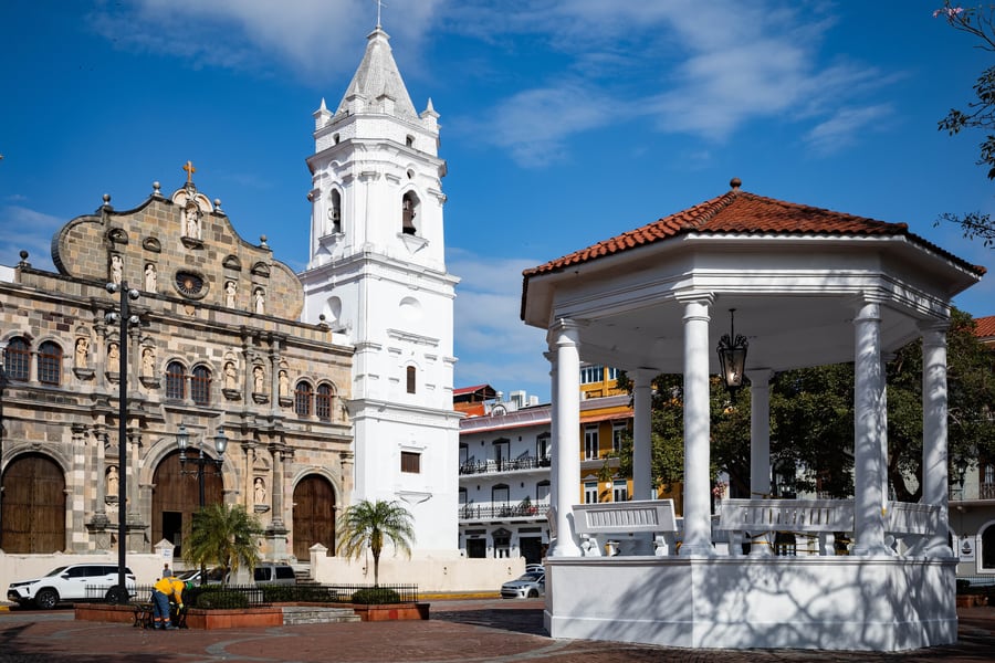
Walk from 5 de Mayo or Santo Tomás and you are in it: the quarter the Spanish completed and settled in 1673 after Henry Morgan destroyed the original city. The Plaza de la Independencia has the cathedral on one side and a bandstand in the middle, with balconied houses in every state of restoration and ruin running off it, and rooftop bars looking across the bay at the skyscrapers. UNESCO-listed, walkable in an afternoon.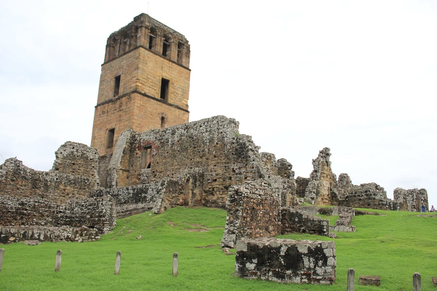 Ayaita / Wikimedia Commons · CC0 · cropped
Panamá Viejo
Founded on 15 August 1519 by Pedro Arias Dávila and the first European settlement on the Pacific coast of the Americas — until 28 January 1671, when Henry Morgan came over the isthmus with 1,400 men and it burned. What survives is a scatter of stone ruins and the cathedral tower on the shore, itself a rebuild after an earlier fire in 1644. Metro plus a short bus; UNESCO-listed in 1997 together with Casco Viejo.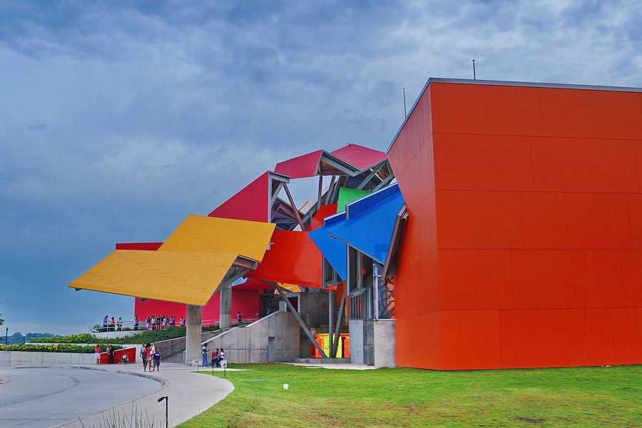 Editorpana / Wikimedia Commons · CC BY-SA 4.0 · cropped
The Biomuseo
Frank Gehry designed it — his only building in Latin America — and it opened on 2 October 2014 at the near end of the Amador Causeway: 4,000 m² of galleries under a collision of folded, brightly coloured metal roof planes. The subject is the isthmus itself, and how its closure sent the animals of two continents pouring into one another. Eight permanent galleries; the best is the one about that exchange.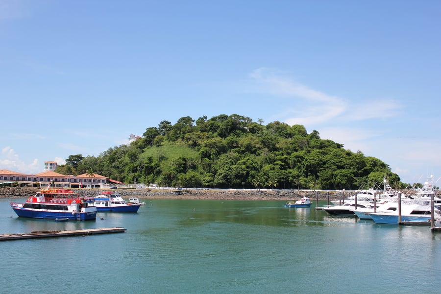 Ayaita / Wikimedia Commons · CC BY 3.0 · cropped
The Amador Causeway
A road built out into the Pacific on spoil dug from the Culebra Cut, linking four islands and ending in marinas and seafood restaurants. Behind you is the whole city skyline; in front, ships lie at anchor waiting their turn at the canal. It is not on the metro — take a taxi from Albrook — but it is the best hour in Panama City at dusk, and the Biomuseo sits at the landward end of it.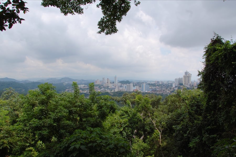 LWY / Wikimedia Commons · CC BY-SA 2.0 · cropped
Metropolitan Natural Park
265 hectares of genuine tropical forest inside the city limits, created by law in 1985 and opened in 1988 — the only wildlife refuge within Panama City. It holds 227 bird species, 45 mammals, 36 snakes and 14 amphibians, and the trails are short enough to do before lunch. There is a viewpoint over the skyline and the canal approaches. Very few capitals have anything like it inside the boundary.Where to Sleep
Panama City is compact by Latin American standards and the metro links most of it, so where you stay is a question of atmosphere rather than logistics.
Casco Viejo
The most enjoyable base, and the one most visitors choose. The colonial quarter has filled up over the last twenty years with boutique hotels in restored eighteenth- and nineteenth-century houses: courtyards, high ceilings, tiled floors, rooftop terraces looking across the water at the towers. It is walkable, safe in the restored core, and has the best concentration of restaurants and bars in the country.
It sits just beyond the southern end of Line 1 — a short walk from 5 de Mayo or Santo Tomás. Prices are the highest in the city and rooms are small; both are worth it.
The banking district
Marbella, Obarrio and Punta Paitilla are where the international chains are: large modern hotels with pools, gyms and views over the skyline, often at surprisingly reasonable rates because they are built for business travellers. Efficient and anonymous. Several are within a few minutes of Iglesia del Carmen or Vía Argentina on Line 1, which makes them the best-connected option in the city.
El Cangrejo
Between the banking district and the university, and the most liveable neighbourhood in the centre — mid-century apartment blocks, a good spread of small hotels and hostels, and the best everyday eating in the city, from Venezuelan arepas to Lebanese to Panamanian fondas. Vía Argentina station is in the middle of it. This is where to stay if you want value and want to feel like you are in a city rather than a hotel district.
Albrook and Amador
Practical rather than pleasant. Albrook puts you at the metro terminus, the bus terminal, the domestic airport and within minutes of Corozal for the Canal Railway — genuinely useful if you have an early train. The Amador Causeway, out in the Pacific on its chain of islands, has a handful of hotels and marinas with the skyline across the water, but you will need taxis for everything.
Near Tocumen airport
There are airport hotels by Tocumen, now also reachable on the Line 2 branch. Worth it only for a very early or very late flight — the area has nothing else, and the metro into town takes over an hour.
A note on getting around
The metro covers the spine of the city but not the waterfront, the causeway or the canal. Ride-hailing apps work well and are cheap; ordinary street taxis negotiate fares rather than metering them, so agree the price before you get in. For most visitors the sensible combination is the metro for anything on its two lines and a ride-hail for everything else.
Questions or corrections
Planning this trip and stuck on something, or spotted a time, fare or detail that has changed? Send us a message about The Panama Metro. We read every one, and we update this page when something has changed.