Nouadhibou–Zouérat Iron Ore Train
Boada549 / Wikimedia Commons · CC BY-SA 4.0 · cropped
- Distance704 km
- Duration18–22 hours
- Best seasonThe cooler months; a summer crossing is punishing
Introduction
Before you read on. This is a working mineral railway, not a passenger service. Riding on the open ore wagons is not authorised by SNIM, the company that owns the line, and the conditions are genuinely hazardous — daytime heat above 40 °C, nights close to freezing, iron dust in everything, and no safe way off between stops. We cover the train here because it is one of the great railway journeys on earth, and we describe it only from published, checkable sources. Nothing below is an itinerary, and the only lawful accommodation for a passenger is the coach described under Tickets.
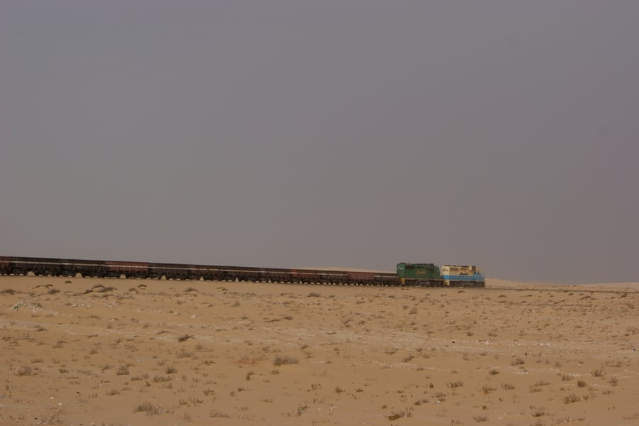
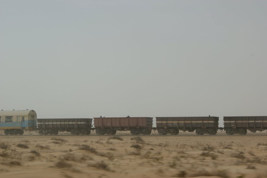
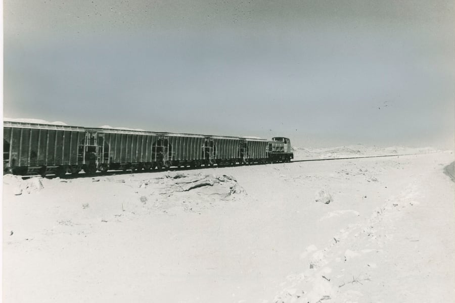
The Mauritania Railway runs 704 km from the Atlantic at Nouadhibou to the iron mountains at Zouérat, and it exists for one reason: to move ore. Construction began in 1960, the line opened in 1963, and the state mining company SNIM has run it since nationalisation in 1974. A loaded working is 200 to 210 wagons behind a pair of EMD diesels — up to three kilometres of train, carrying as much as 17,000 tonnes at a steady 40 km/h across the Sahara. It is routinely counted among the longest and heaviest trains anywhere in the world, and there is no second line in the country to compare it with.
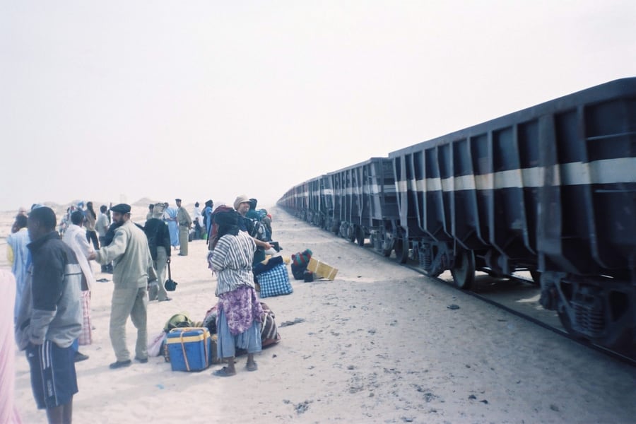
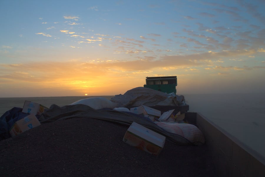
What makes it a journey rather than a conveyor belt is that people travel on it. One working a day normally carries a single passenger coach among the ore wagons, run by SNIM's subsidiaries; a separate tourist working, the Train du Désert, has run since 2019 behind one of the railway's small EMD shunting-type diesels with two second-hand carriages. Everyone else — merchants, herders, soldiers on leave — has for decades simply climbed into the empty hoppers on the way up and sat on the ore on the way down. That practice is what the notice above is about, and it is the part of this railway's story that no honest page can leave out.
The Journey
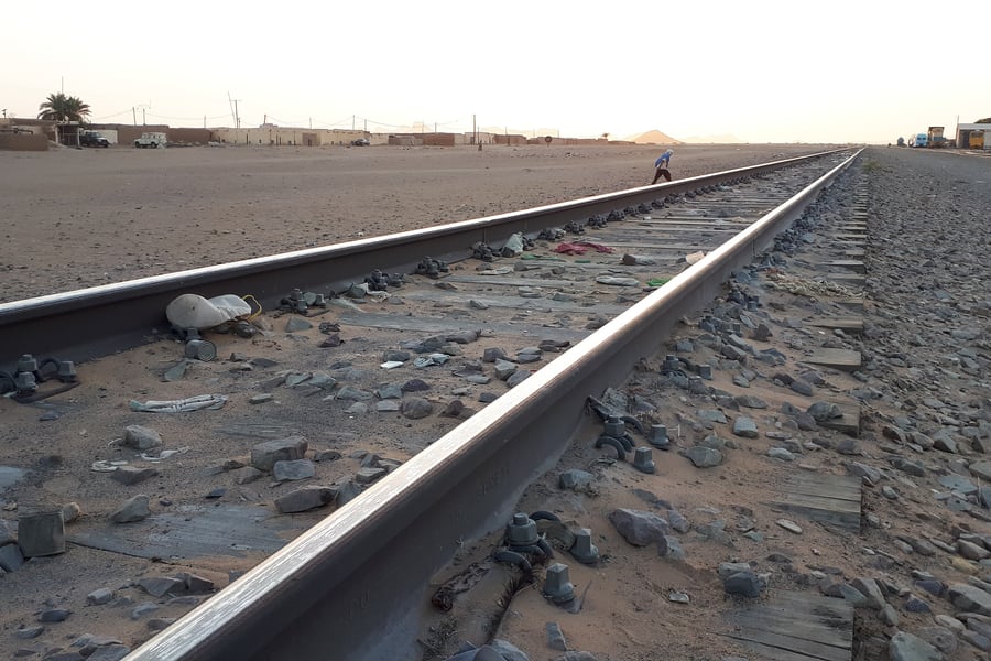
The line begins where the ore leaves the country. Point Central, about 15 km south of Nouadhibou on the Ras Nouadhibou peninsula, is SNIM's mineral pier, and the loaded trains run straight onto it to be tipped: the unloader there works through 70 wagons an hour, which is the only figure that makes a three-kilometre train sound manageable. Nouadhibou itself is a city of roughly 173,000 people whose other business is fish, the cold Canary current making the water offshore some of the richest in West Africa. The town station is north of the terminal, and it is where people and freight join the train.
The traction, and what it is called
There is nothing subtle about the motive power. The ore trains are worked by EMD diesels in
pairs or more: the SDL40-2 fleet, CC101–CC121, delivered in batches between 1981 and 1997,
and six SD70ACS units, CC122–CC127, ordered in October 2010 and built for desert service
with pulse air filtration and movable sand ploughs. Alongside them are sixteen smaller GPL-15T
machines, BB201–BB216, a model made specifically for SNIM by EMD and Super Steel; these are the
units that handle the service workings, the water train that supplies the desert settlements, and
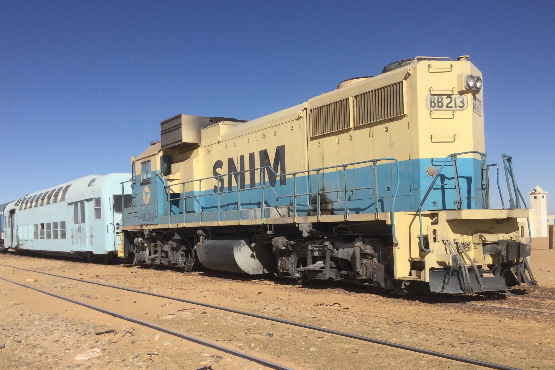
the tourist Train du Désert. The hero photograph at the top of this page is BB 213 on that
train, with the two carriages behind it — one Italian-built, the other still carrying the faded
lettering of České dráhy, the Czech state railway it came from.
Out into the Sahara
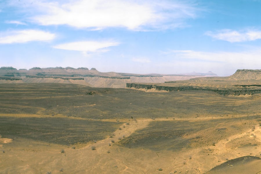
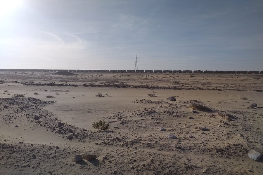
East of Boulenouar the line simply leaves. There is no gradient worth the name and nothing to look at for hours except reg — flat, stony desert, the sand scoured off it by the wind — with the occasional halt where a handful of buildings has grown up around a water tank. At km 393 the train passes Ben Amira, a granite monolith standing alone on the plain and, by most reckonings, the largest in Africa. The tourist working stops there. Further on the horizon breaks up into the low tabletop escarpments of the Adrar, and the light in the last hour before sunset does more for this landscape than any photograph suggests.
Choum, and a border the railway has to cross
Choum, at km 460, is the junction between the railway and the rest of the country: a town of a few thousand people, a long platform of sand, and the road south-east to Atar and the Adrar oases. It is also where the line's strangest fact sits. When the French built the railway they refused to route it across what was then Spanish Sahara, and drove a 2 km tunnel through the granite spur at Choum instead, purely to keep the track on their own territory. The tunnel is out of use today, and the working line now runs for about 5 km through the part of Western Sahara controlled by the Polisario Front — a detail of the map that is very easy to miss and impossible to un-see once you have.
Choum is also where the train shows what else it carries. Flat wagons at the head of the rake take Land Cruisers, lorries and overland trucks across the desert, and loading one is a slow business of ramps, ropes and a great deal of advice from the platform.
Fderîck, Zouérat and the iron mountain
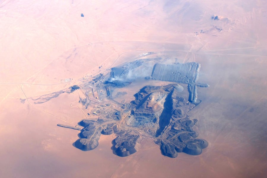
The last hundred kilometres climb gently into the Tiris Zemmour, and the reason for all of it finally appears: Kediet ej Jill, 915 m, the highest ground in Mauritania and so full of magnetite that it throws a compass off. Fderîck sits on its western side, built in the late 1950s around the old French Fort Gouraud to work the ore; Zouérat, the regional capital and a town of some 62,000 people, sits on its eastern side at the end of the passenger line, with the open pits and the newer mines at Guelb and M'Haoudat beyond. From the slopes above the town the view is black spoil in the foreground and a grid of low houses running out into the haze — which is, when you have come 704 km to see it, exactly the right ending.
Along the route
 Cooperazione / Wikimedia Commons · CC BY-SA 4.0 · cropped
Hours of nothing, and that is the point
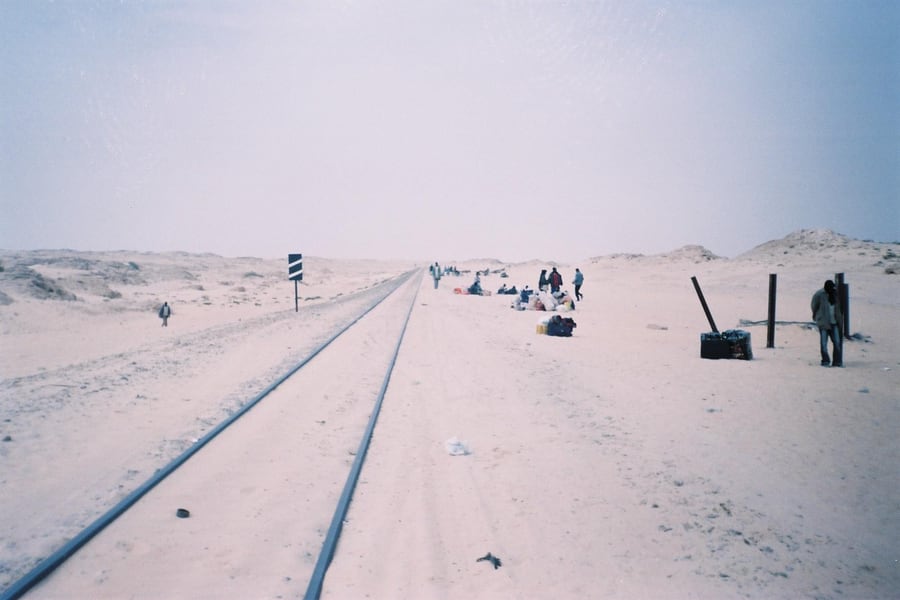
East of Boulenouar the line simply leaves. No gradient worth the name, no curve, and for hours nothing but reg — flat stony desert with the sand scoured off it — broken by the occasional halt grown up around a water tank. Fischersfritzchen / Wikimedia Commons · CC BY-SA 4.0 · cropped
The tunnel dug to avoid a border
The French would not route the railway through Spanish Sahara, so they bored 2 km of granite at Choum to keep it on their own ground. That tunnel is disused today, and the working line clips about 5 km of Polisario-held Western Sahara instead.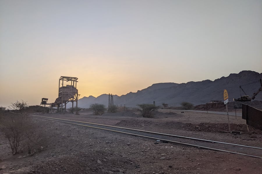 KnowledgeIsPower9281 / Wikimedia Commons · CC BY-SA 4.0 · cropped
The mountain that throws a compass off
Kediet ej Jill, 915 m, is the highest ground in Mauritania and so full of magnetite that it disturbs a compass. Fderîck works its western side and Zouérat its eastern, and the whole 704 km exists to take it away.A bit of history
Culture & experiences along the way
 Ji-Elle / Wikimedia Commons · CC BY-SA 3.0 · cropped
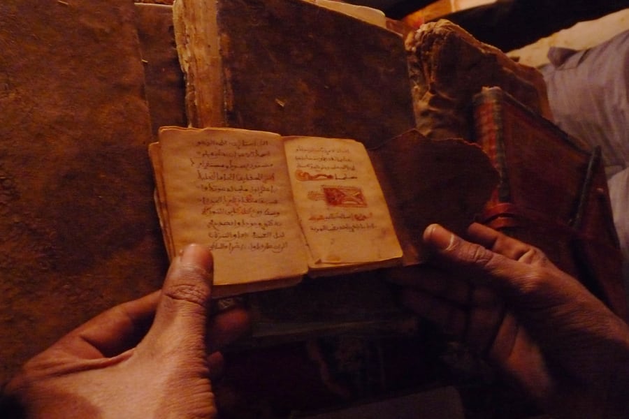
The libraries at Chinguetti
Get off at Choum and go on to Chinguetti, where families have kept their ancestors' manuscripts for four and five generations. Four of the libraries open to visitors — the Habott alone holds about 1,400 manuscripts among some 2,000 volumes — Qur'ans, astronomy, law, poetry, handled without gloves in rooms of dry stone.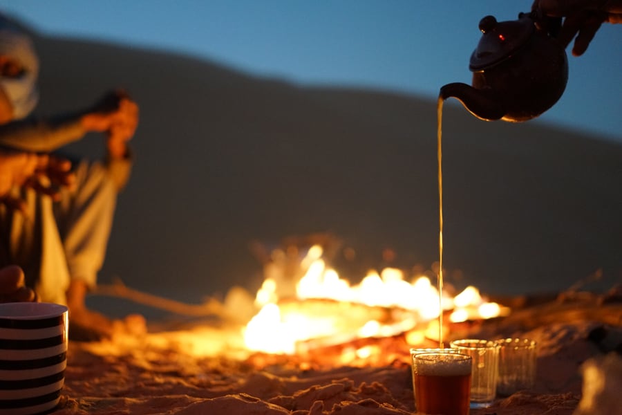 Issam Barhoumi / Wikimedia Commons · CC BY-SA 4.0 · cropped
Three glasses of tea
Green tea is rinsed, boiled, then poured from a height and tipped back into the pot again and again until every glass carries a head of foam. It is drunk in three rounds — bitter like life, strong like love, sweet like death — and where tea is served in company, all three are expected of you.Timetables
SNIM publishes no public timetable for this line, and that is the single most important thing to understand about it. The railway is scheduled around the mine and the ore ships, not around passengers, so what exists is a set of working paths that are kept when loading allows and abandoned when it does not. Two pairs of trains a day is the normal pattern; three or four pairs run when production is high.
The two long-distance paths look like this — the only ones a passenger has any use for:
| Westbound (loaded) | Eastbound (empty) | |
|---|---|---|
| Zouérat / Fderîck | dep. from midday | arr. early morning |
| Choum (km 460) | mid-afternoon | around 01:00 |
| Nouadhibou (km 0) | arr. next morning | dep. mid-afternoon |
| End to end | 18–22 hours | 16–20 hours |
Loaded trains run down to the coast; the empties go back up. Choum is the useful mid-line reference point — it is the only intermediate place with a road connection worth the name, and the one where the timings recorded by travellers agree with each other most closely.
Good to know:
- The published departure and the actual departure are different things. The westbound working is nominally an 11:00 off Zouérat; in practice it has been recorded leaving any time between midday and 18:00, and the passenger coach's presence guarantees neither a departure nor a stop.
- The real station for Zouérat is at Fderîck, about 25 km west of the town.
- Season matters more than the clock. Nouadhibou's coolest month is January and its hottest is September; inland the swing is far wider, and a night in the desert in December can approach freezing while the following afternoon passes 40 °C. The tourist Train du Désert runs in the cooler half of the year rather than through the summer.
- The line is being rebuilt around you. In November 2025 the African Development Bank and EIB Global signed a US$275 million package — US$150 m and US$125 m respectively — to rehabilitate the existing railway, build 42 km of new track to the El Aouj and Atomai mining sites, and buy new locomotives and wagons. Expect the working pattern to keep changing.
Working pattern as of August 2026, from published accounts and the operator's own material; SNIM does not issue a timetable. The operator is SNIM (opens in a new tab).
Tickets
There is no online booking, no ticket office reachable from abroad and no through fare. One working a day usually carries a single passenger carriage among the ore wagons, run by SNIM's own subsidiaries, and that is the only lawful way to travel on the train. The fare is collected on board and is small; no figure is quoted here, because the amounts reported by travellers differ by a factor of three and SNIM publishes none. The coach cannot be reserved and is often full.
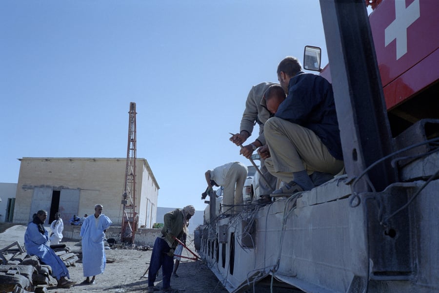
Since January 2019 SOMASERT has also run the Train du Désert, a locomotive and two carriages over part of the line, sold as an excursion through Mauritanian tour operators in the cooler half of the year. ⛔ Riding the open ore wagons was tolerated for decades and since 2024 is neither tolerated nor lawful: there is no shade, no shelter from a near-freezing night, no water, and no way to signal a train two kilometres long.
Rail Passes
No rail pass covers this journey, and none is worth buying for it. Mauritania has one railway, it is owned by a mining company, and it belongs to no regional or international pass scheme — Interrail and Eurail stop at the Mediterranean, and there is no African equivalent that reaches here. The passenger fare is collected on board in ouguiya and is a fraction of the cost of getting to either end of the line in the first place, so there is nothing for a pass to save.
The one thing worth arranging in advance is a Mauritanian operator, if you want the Train du Désert excursion rather than the working train, since it is sold as a trip and not as a ticket.
As of August 2026.
Places to Visit
The line has four places worth stopping for, and between them nothing at all — which is rather the point of it. Nouadhibou and Zouérat are the two ends, both company towns of a sort, one built on fish and ore and the other on ore alone. Ben Amira and Choum are the middle: a granite monolith that the tourist train stops beside, and the one town on the route with a road to the rest of Mauritania.
 Kai Kemmann / Wikimedia Commons · CC BY-SA 4.0 · cropped
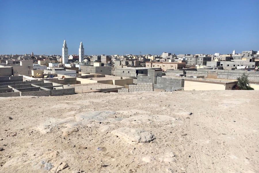
Nouadhibou
A city of about 173,000 on a long peninsula, with the Atlantic on one side and the bay on the other. Fish and iron ore are the whole economy: the trawler fleet works some of the richest water in West Africa, and SNIM's mineral pier at Point Central, 15 km south, is where every loaded train ends up. The bay is also known for the hulks of ships left to rot in it.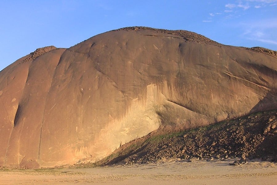 Les3corbiers / Wikimedia Commons · CC BY-SA 3.0 · cropped
Ben Amira
A single dome of granite standing clear of the plain about 4 km north of the track, and generally reckoned the largest monolith in Africa. A smaller companion, Aïcha, sits a short drive west of it. The tourist working stops here; from the ore train the rock goes past as a shape on the horizon that takes a surprisingly long time to disappear, which is as good a measure as any of how slowly these trains actually move.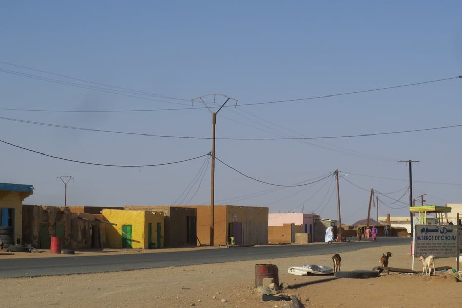 Grullab / Wikimedia Commons · CC BY 3.0 · cropped
Choum
A town of a few thousand people where the railway meets the road to Atar and the Adrar oases — the only place on the route with a proper land connection to the rest of the country. The 2 km tunnel the French drove through the granite spur here, purely to keep the line out of Spanish Sahara, is a short way off and no longer in use.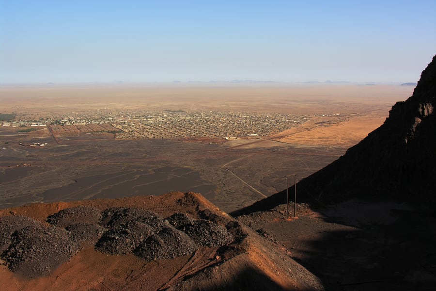 Jérome Ferri / Wikimedia Commons · CC BY-SA 4.0 · cropped
Zouérat
The capital of the Tiris Zemmour, about 62,000 people, laid out under Kediet ej Jill — 915 m, the highest ground in Mauritania and so heavy with magnetite that it throws a compass off north. Ore has been worked here since long before the railway, commercially since the 1950s, and the open pits are on the doorstep. This photograph is taken from the mountain itself, black spoil in the foreground and the town running out into the haze.Where to Sleep
Accommodation on this route means Nouadhibou or Zouérat, and in practice it means Nouadhibou. The city has a working hotel trade serving the port, the fishing fleet and the mining company, most of it along the Boulevard Maritime and around the airport. Zouérat has a small number of hotels of its own, none with a website you can reach directly, so they are booked by phone, through a Mauritanian agency, or through the international booking platforms.
There is nothing in between. Choum has no hotel — travellers who break the journey there sleep at a guesthouse arranged locally or on the sand — and the desert halts along the line are water stops with a handful of buildings, not places with rooms. Anyone travelling the whole line in one go is spending the night on the train, however they are riding it.
Where to stay
Hôtel Prestige
In the centre of Nouadhibou
Rooms, suites and studios with views over the bay, meeting rooms and an airport shuttle.
Check Availability (opens in a new tab, on hotel-prestige.org)via hotel-prestige.orgQuestions or corrections
Planning this trip and stuck on something, or spotted a time, fare or detail that has changed? Send us a message about Nouadhibou–Zouérat Iron Ore Train. We read every one, and we update this page when something has changed.