Obskaya to Bovanenkovo
BLOG / Wikimedia Commons · CC BY-SA 4.0 · cropped
- Distance572 km
- Duration~24 hours
- Best seasonYear-round
Introduction
Nothing on earth carries a train further north than this. The line starts at Obskaya, a freight station standing in open tundra at the foot of the Polar Urals, twelve kilometres from the town of Labytnangi, and runs 572 kilometres up the Yamal Peninsula to Karskaya, a short way inland from the Kara Sea. Every metre of it lies inside the Arctic Circle, on permafrost that heaves and thaws each summer, and it was built for one reason: the Bovanenkovo gas field, the largest on Yamal, which sits at kilometre 525.
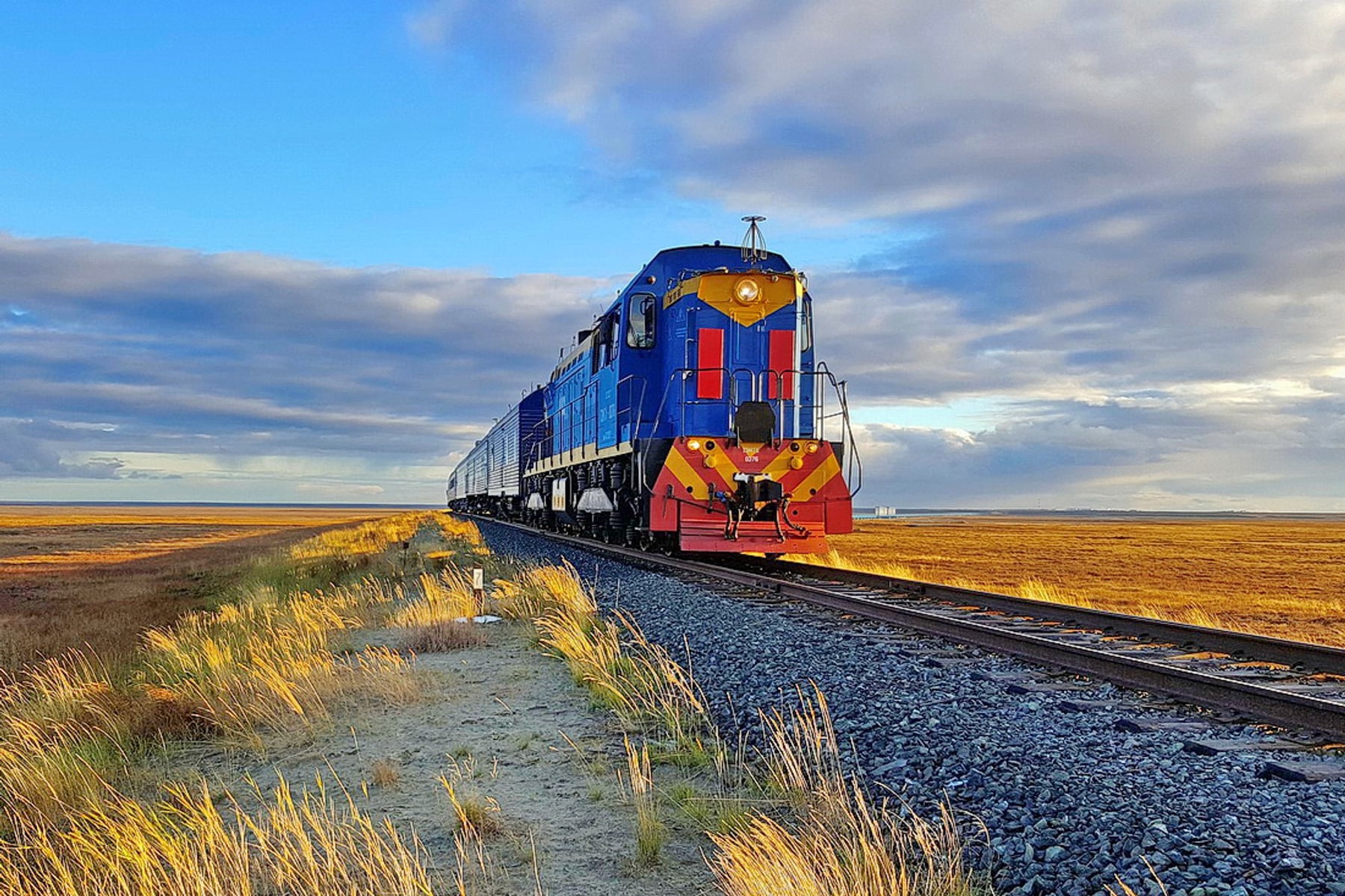
It is also a railway nobody buys a ticket for. The line belongs to Gazprom and is worked by the Yamal branch of its transport arm, Gazpromtrans. What runs on it is freight and a shift-workers' train — ten or eleven carriages, two of them restaurant cars, about twenty-four hours end to end, carrying the crews who work the field in rotations of fifty to fifty-five days. There is no published timetable and no ticket office, and Bovanenkovo itself is a closed settlement inside a border zone. This is a railway to read about and follow on a map, not one you can board — and the sections below say so plainly wherever a fact simply does not exist.
What you can do is stand at the beginning of it. Obskaya is an ordinary station on the Russian Railways network, and sleepers from Moscow call there on their way to Labytnangi, forty-one hours out of the capital. Across the frozen Ob is Salekhard, the only Russian city standing squarely on the Arctic Circle, with the Polar Urals an hour behind it and the whole of the Yamal tundra in front.
The Journey
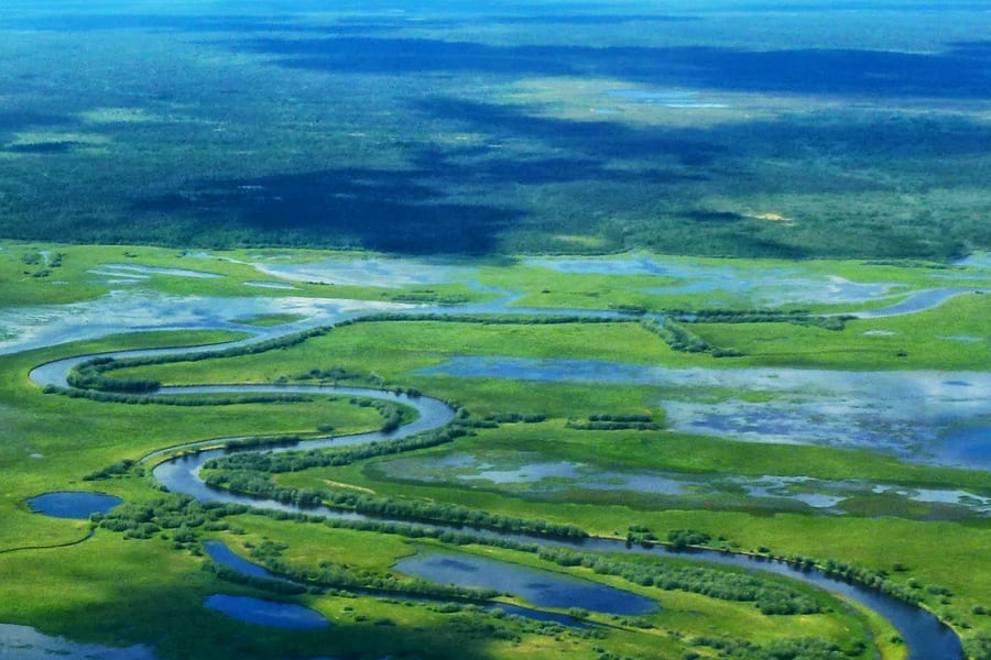
The Yamal Peninsula is a flat wedge of tundra, lake and bog seven hundred kilometres long, pushed out between the Gulf of Ob and the Kara Sea. There is no rock to build on and no dry ground to build from. Under a thin summer surface the whole peninsula is frozen solid, and the engineering problem of the railway is not gradient or curvature — the line barely climbs at all — but heat. A conventional embankment insulates the ground beneath it, the permafrost under it thaws, and the track sinks.
Soviet builders had already lost that argument twice, on the Transpolar Mainline and on the Baikal– Amur. Yamaltransstroy, which began work here in 1986, solved it by building in reverse. In winter a frozen "core" is laid — frozen tundra covered over with frozen ground — and in summer the embankment is brought up to its finished profile with thawed, dry soil. Panels of extruded foam act as thermal buffers, and the base is non-draining loam, a material previously written off as unsuitable. It worked: unlike its two predecessors, this line has held a stable formation from the day it opened.
Stopping, and starting again
The railway was declared an All-Union Komsomol shock project, and crews and construction trains came north from the BAM to build it. Then the Soviet Union ended. By the summer of 1995 there were 224 kilometres of track down and freight and passenger trains running as far as Payuta, and there work stopped. A state-backed experimental push reached kilometre 268 at Khralov and halted again in 2003. Gazprom restarted the project in 2005, with Yamaltransstroy as general contractor; by 2006 there were 267 kilometres of track, 35 bridges and 560 culverts in place. Through running to Bovanenkovo opened on 12 January 2010, and the last 47 kilometres to Karskaya on 15 February 2011.
The bridge over the Yuribey
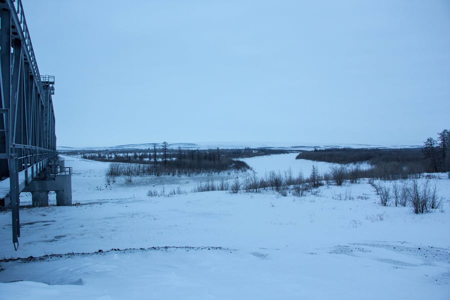
The obstacle in the middle is the Yuribey, a tundra river that in flood spreads across its whole valley. The crossing is not a bridge over a channel but a viaduct over a floodplain: 3.9 kilometres long, 82 spans of 34.2 metres, two through-trusses of 110 metres and 25 more spans of 34.5 metres, designed by Lengiprotrans and built in 349 days. It stands on hollow steel shell piles 1,420 millimetres across, sunk 20 to 40 metres into the permafrost, with no embankment at all beneath it so that the river's spawning grounds were left intact. It weighs more than 30,000 tonnes, is designed for a hundred years, and is the longest railway bridge anywhere beyond the Arctic Circle. It carried its first passengers on 4 June 2009.
What runs, and who is on it
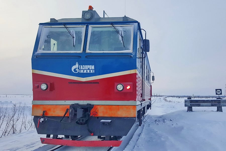
Five stations, twelve passing loops and seventy bridges totalling more than twelve kilometres. North of Obskaya the line is diesel-worked throughout: Gazpromtrans's own blue-and-red locomotives on the freight and the workers' trains, and light rail motor cars for inspection and permanent-way crews. The shift train's carriages were built in Tver and have sockets in the compartments; the two restaurant cars serve four to six sittings a day, because everybody on board has to eat somewhere in twenty-four hours.
Around seven hundred people ride a round trip — three hundred and fifty each way — going out to a gas field in rotations of fifty or fifty-five days, or coming home from one. Outside the window, for most of the year, is snow, and for a month either side of midsummer the sun does not set at all.
Along the route
 Vasyatka1 / Wikimedia Commons · CC BY-SA 4.0 · cropped
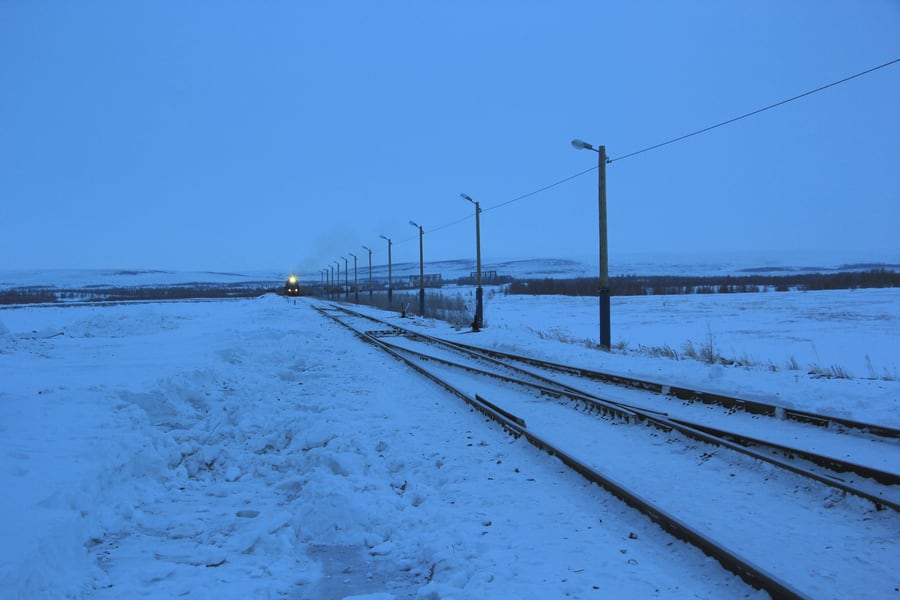
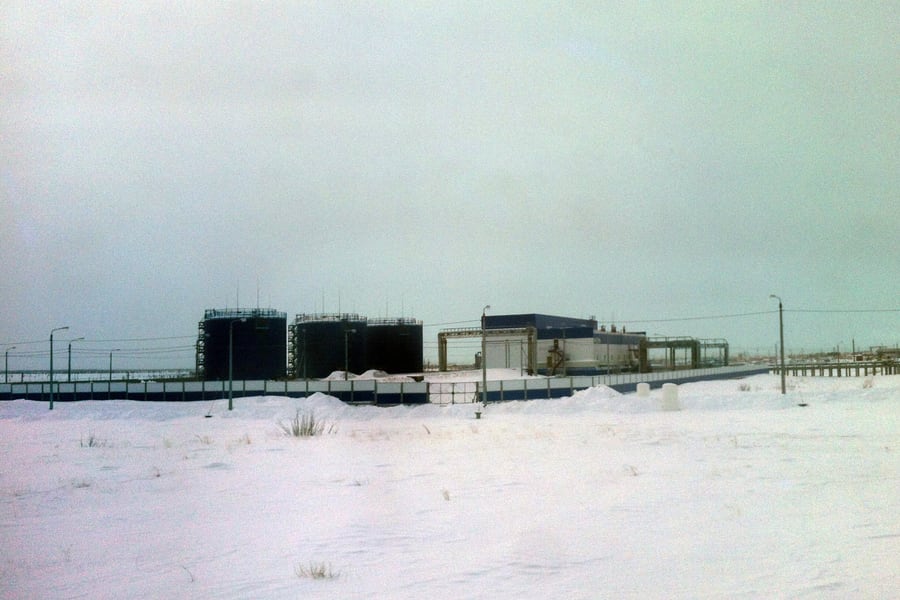
Obskaya, kilometre zero
A freight yard on the Chum – Labytnangi line, in tundra at the foot of the Polar Urals. Freight working began here in October 2009. It is the last place on the route a member of the public can legally stand.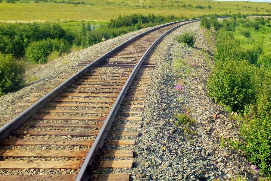 Николай Максимович / Wikimedia Commons · CC BY 3.0 · cropped
Payuta, where it stopped for a decade
Trains reached Payuta in 1995 and then went no further for ten years. The rails you see in the short northern summer are the ones that sat at the end of the world's most stalled railway until Gazprom restarted the job in 2005.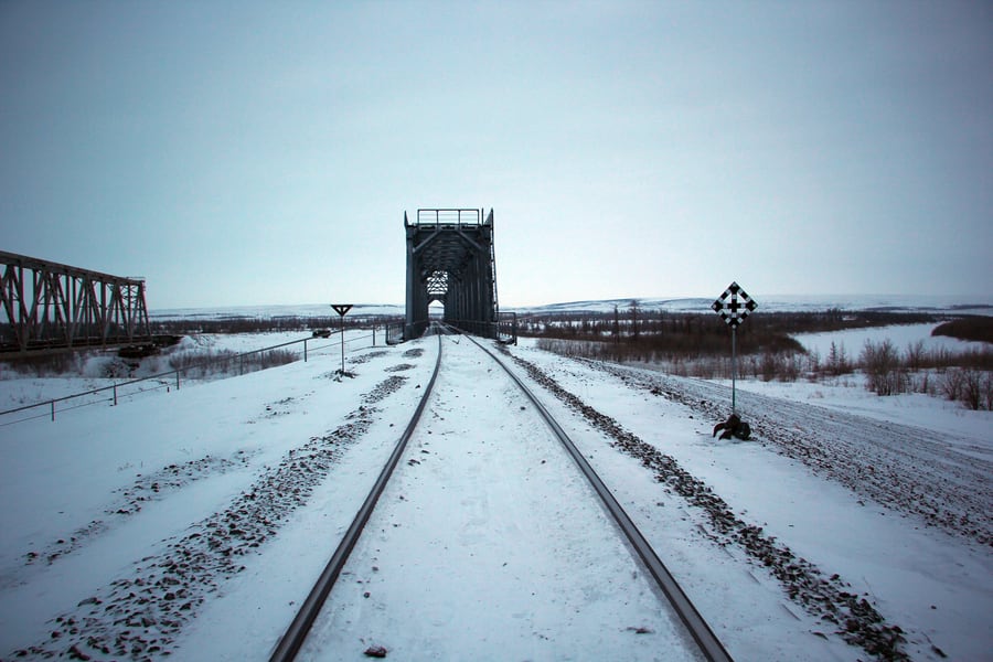 Malupasic / Wikimedia Commons · CC BY-SA 4.0 · cropped
Seventy bridges
Yamal is water as much as land, and the line crosses it on seventy bridges and 560 culverts. Most are short steel trusses like this one, dropped across a river that will be a kilometre wide in June and a frozen thread in March.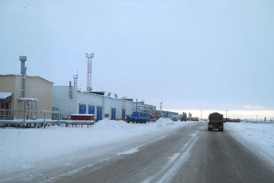 artden6@rambler.ru / Wikimedia Commons · CC BY-SA 3.0 · cropped
Bovanenkovo, kilometre 525
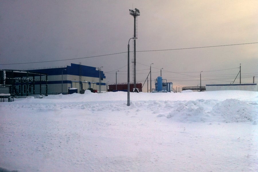
The reason for all of it: the largest gas field on Yamal, discovered in 1971 and named after the geologist Vadim Bovanenko. Its third and final production complex opened in December 2018. Nobody arrives here without a pass.A bit of history
Culture & experiences along the way
 Muxamer / Wikimedia Commons · CC BY-SA 3.0 · cropped
The chum, and the year it keeps
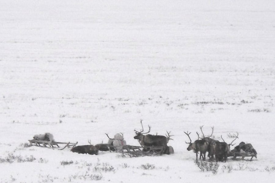
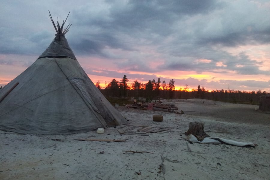
Yamal means end of the land in Nenets, and the people it belongs to still move across it with the seasons. A chum — poles and reindeer hide, struck and re-pitched a dozen times a year — is the shape you see on the tundra long before you see a building. The herds it follows cross the railway twice a year.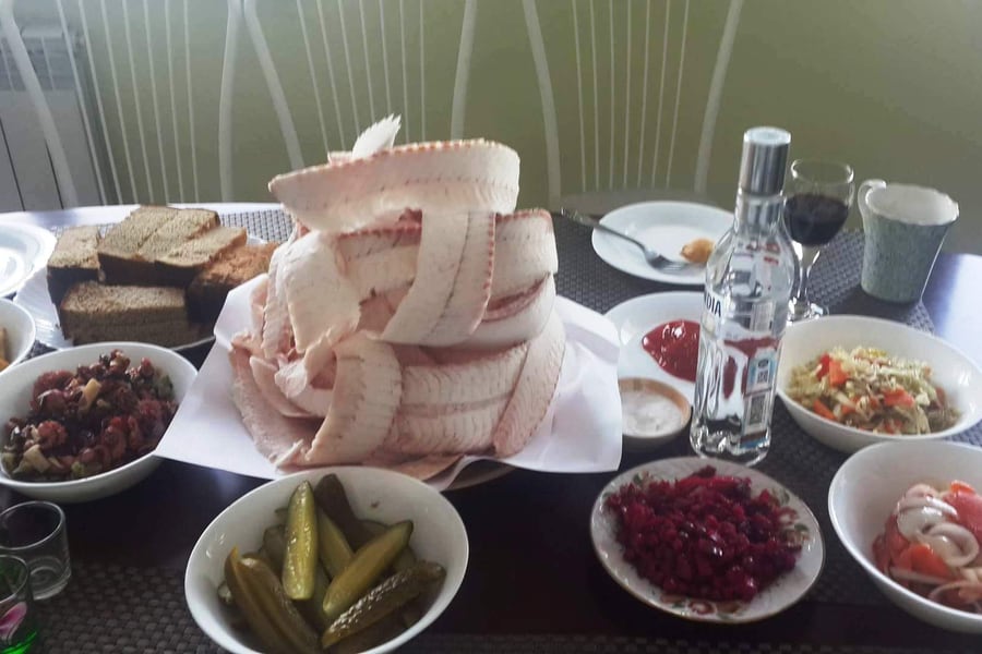 Cholbon / Wikimedia Commons · CC BY-SA 4.0 · cropped
Stroganina
The north's answer to having no fridge and no stove: whitefish frozen hard on the river, planed into curls with a knife and eaten raw and still frozen, with salt and pepper. On the lower Ob it is muksun or nelma. It is the one dish everybody in Salekhard will put in front of a visitor.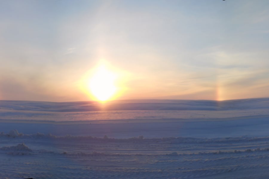 artden6@rambler.ru / Wikimedia Commons · CC BY-SA 3.0 · cropped
Sun dogs over the tundra
At these latitudes the low sun shines through ice crystals suspended in the air and prints a mirror of itself on either side — parhelia, sun dogs. On a clear February day on Yamal there are three suns on the horizon and a pillar of light above the real one.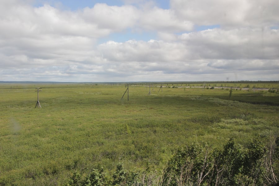 Druschba 4 / Wikimedia Commons · CC BY-SA 4.0 · cropped
The railway that was abandoned instead
The Transpolar Mainline near Labytnangi, seen from the Vorkuta train: Chum – Salekhard – Igarka, begun in 1947 by the Gulag's railway directorate with as many as 80,000 people on it, and stopped dead in 1953. Everything east of Labytnangi was left where it stood. It is why Yamal's engineers took permafrost so seriously the second time.Timetables
There is no public timetable for this line, because there is no public train. The railway is Gazprom's own and is worked by the Yamal branch of Gazpromtrans; the passenger service on it exists to move the Bovanenkovo field's own crews. It is not advertised, not sold, and appears in no national timetable — so the departure times below are the ones we can source honestly, and they are for the trains that bring you to the start of the line, not up it.
What is on record about the shift working itself is its shape rather than its clock. It covers the 572 kilometres from Obskaya to Karskaya in about twenty-four hours, formed of ten or eleven carriages: seven or eight platskart, a couple of kupe, two restaurant cars, a baggage van and a diesel generator car that can power the whole train if something fails. Roughly 700 people travel on a round trip, 350 in each direction. How often it runs is not published, and reports differ, so we give no frequency rather than a guessed one.
Getting to Obskaya
Obskaya is an ordinary Russian Railways station on the Chum – Labytnangi line, and long-distance sleepers call there. Times are local (Moscow +2).
| Train | Route | Departs | Calls at Obskaya | Journey | Runs |
|---|---|---|---|---|---|
| 022Я | Moscow Yaroslavsky → Labytnangi | 15:15 | 10:28, third morning | 41 h 13 | even dates |
| 210Я | Moscow Yaroslavsky → Labytnangi | 15:15 | 10:28, third morning | 41 h 13 | every fourth day |
| 021Н | Labytnangi → Moscow Yaroslavsky | 16:45 (from Obskaya) | 10:14 Moscow, third morning | 43 h 29 | even dates |
| 209М | Labytnangi → Moscow Yaroslavsky | 16:45 (from Obskaya) | 10:14 Moscow, third morning | 43 h 29 | every fourth day |
The 021/022 pair carries the name Polyarnaya Strela, the Polar Arrow. Sleepers from St Petersburg and from Vorkuta run to Labytnangi as well, so Obskaya is not the single-track dead end it looks like on a map. Labytnangi is the end of the public rails: 12 kilometres further on, and the last station a ticket will take you to.
Times as of September 2026, from the booking system of Belarusian Railways (opens in a new tab), which queries the shared CIS reservation system and therefore returns Russian domestic trains. Russian Railways reschedules in late May and early December.
Tickets
No ticket exists for the Obskaya – Bovanenkovo line. It is a departmental railway: Gazprom owns it, Gazpromtrans runs it, and a seat on the shift train is an allocation to an employee, not a fare anyone can pay. There is no ticket office, no online sale and no charter. Bovanenkovo is a closed shift settlement inside a border zone at the far end, so the usual salvage — buy a berth, stay the night, come back — does not exist here either.
What you can buy is the journey to the start of it. Every train that calls at Obskaya is an ordinary Russian Railways sleeper, sold as a numbered berth in platskart, kupe or SV, with bedding included. Russian Railways sells them at any station window and through its own app, and the shared CIS reservation system sells them too. We quote no fare: Russian sleeper prices move with demand and the season, and RZD's own site cannot be reached from outside the country, so there is no live number to check.
Rail Passes
No rail pass is any use here, and for two separate reasons. Interrail and Eurail both stop at Russia's western border and have never covered the Russian network, so neither is worth considering for any journey in this part of the world. And even a pass that did cover Russia would stop at Obskaya: the Yamal line is not part of the national network at all. It is Gazprom's property, outside the common tariff, outside the reservation system, and outside anything a pass could be validated against.
For the public leg — Moscow or St Petersburg to Labytnangi — Russian Railways sells single reserved berths and runs its own loyalty scheme rather than a pass. Buy each direction as its own ticket for its own train. The one thing worth planning around is the gap between arrival and departure at Obskaya: the northbound sleeper gets in at 10:28 and the southbound leaves at 16:45, which is a six-hour window, and the one after it is a day or two later.
As of September 2026.
Places to Visit
The railway itself is shut to visitors from the first kilometre, but the place it starts from is not. Salekhard and Labytnangi face each other across the lower Ob, and between them they hold almost everything a traveller comes this far north to see: a fortress older than St Petersburg, a museum built around what the permafrost gives up, a river two kilometres wide with no bridge over it, and the Polar Urals close enough to reach in a morning.
 Николай Максимович / Wikimedia Commons · CC BY 3.0 · cropped
Salekhard, on the line itself
Along with Rovaniemi in Finland, Salekhard is one of the very few cities standing directly on the Arctic Circle — the parallel runs through the town. It is 186 kilometres from the Kara Sea, at the point where the Polui joins the Ob, and the sun stays up for 31 days without setting between 7 June and 7 July. There is no polar night to match it: the town sits just far enough south that the sun always clears the horizon in winter.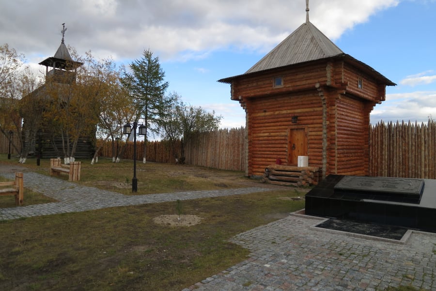 Qweasdqwe / Wikimedia Commons · CC BY-SA 3.0 · cropped
The Obdorsk ostrog
Cossacks put a fort on the cape here in 1595, the northernmost stockade in Siberia, and called it Obdorsk — "the place by the Ob". Its defences were pulled down in 1807 and the town became a village again; the timber towers and palisade you walk through today are a reconstruction on the original site. The name Salekhard, Nenets for "settlement on the cape", only arrived in 1933.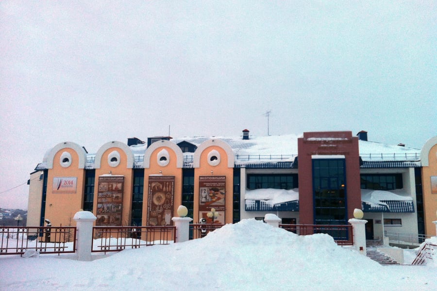 Vasyatka1 / Wikimedia Commons · CC BY-SA 4.0 · cropped
The Shemanovsky Museum
The regional museum and exhibition complex, and the best single reason to come to Salekhard. Its halls hold what the permafrost has given back — mammoth remains from across Yamal, ancient burials, and the ethnography of the Nenets, Khanty and Selkup. Lyuba, the mammoth calf found on the Yuribey river in 2007 and the most complete ever discovered, belongs to this collection.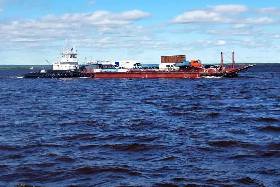 Николай Максимович / Wikimedia Commons · CC BY 3.0 · cropped
Crossing the Ob
There is still no bridge. In summer a ferry works the two kilometres of water between Salekhard and Labytnangi; in deep winter a marked ice road takes cars straight across; and in the weeks either side, when the ice is neither one thing nor the other, a hovercraft does it. A road bridge has been planned for years. Getting from the train to the regional capital is part of the journey here.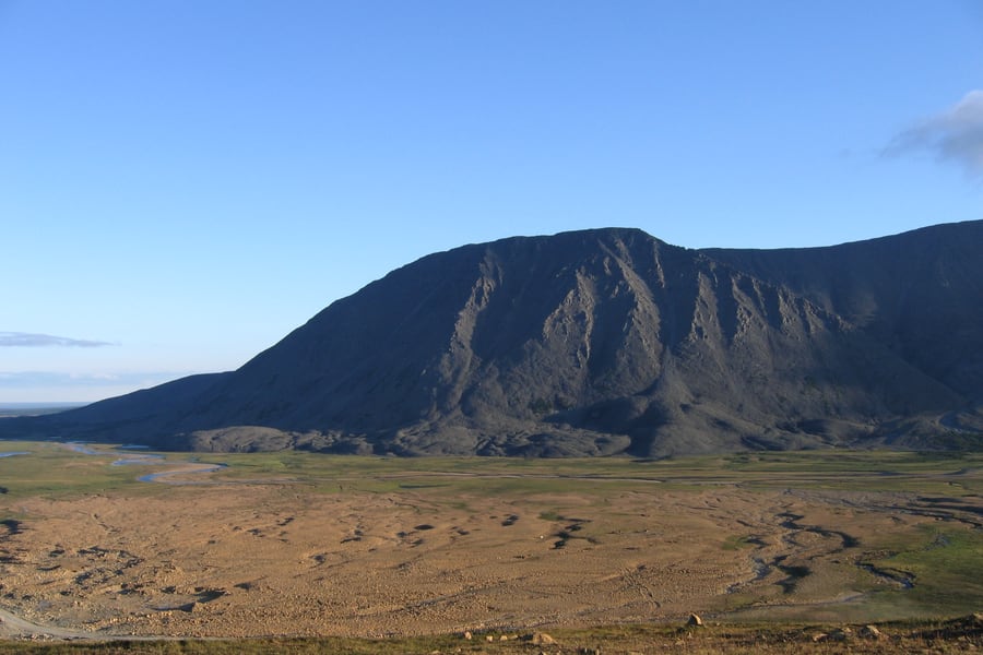 Серж Тихомиров / Wikimedia Commons · Public domain · cropped
The Polar Urals
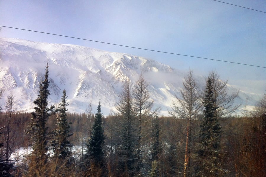
The railway to Labytnangi comes through the mountains to reach the Ob, and the last of them stand within sight of Obskaya. This is the northern end of the Urals, where the range is low, bare and treeless — dark tabletop massifs above tundra, with snow in the corries into August. Kharp, Sob and the Yeletskaya line are the usual ways in.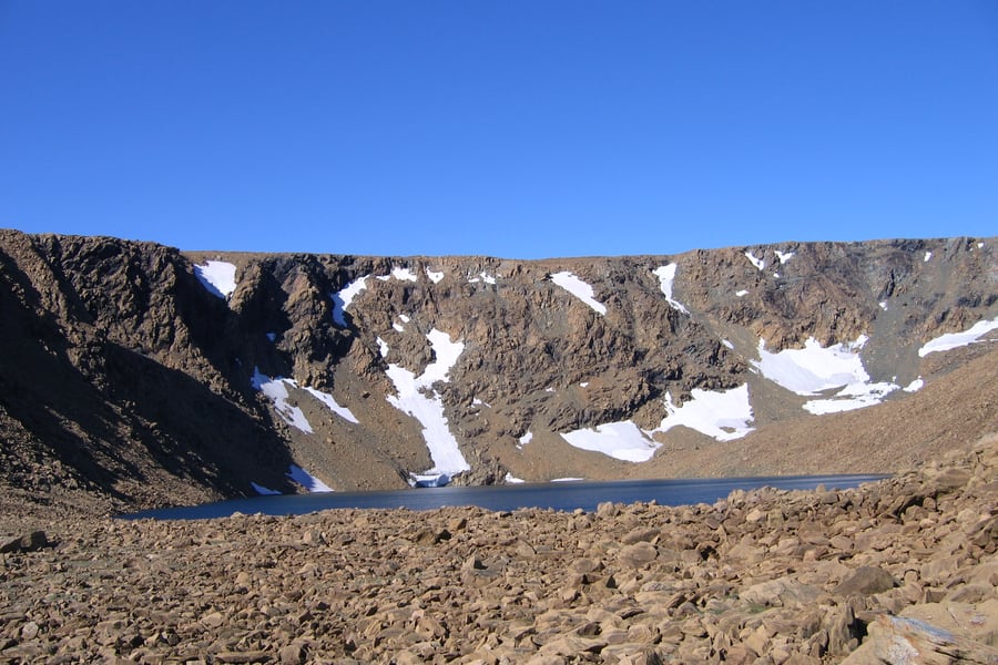 Серж Тихомиров / Wikimedia Commons · Public domain · cropped
Lakes in the corries
Behind the first ridge the walking country begins: cirques scooped out of the rock with a cold lake in the bottom of each, boulder fields, and snow patches that never quite go. It is accessible in a way the Yamal tundra is not — a day out from the railway rather than an expedition — but it is genuine mountain ground, and the weather changes fast.Where to Sleep
There is nowhere to stay on the Yamal line. Bovanenkovo is a closed shift settlement and its accommodation is the field's own dormitory blocks, which cannot be booked. The places to sleep are at the southern end, in the two towns that face each other across the Ob — Salekhard on the right bank, Labytnangi on the left, where the public rails end.
Where to stay
Cosmos Salekhard Yuribey
Central Salekhard, on the Arctic Circle
A 126-room hotel on Prospekt Molodezhi, named after the river the railway's great viaduct crosses, with a northern-cuisine restaurant.
Check Availability (opens in a new tab, on cosmosgroup.ru)via cosmosgroup.ruSem Listvennits
Labytnangi, Gagarin Street
"Seven Larches" takes its name from the Khanty words behind Labytnangi itself, and stands in the centre of the town where the public rails end.
Check Availability (opens in a new tab, on sevenlbt.ru)via sevenlbt.ruQuestions or corrections
Planning this trip and stuck on something, or spotted a time, fare or detail that has changed? Send us a message about Obskaya to Bovanenkovo. We read every one, and we update this page when something has changed.